/uploads/Beijing ZKYS RemoteSensing Information Technology Co., LTD.
Home
Low-altitude Intelligence
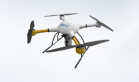
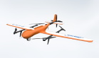
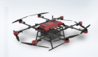
Zhongyao series industrial UAV system
Multi rotor UAV
Fixed wing UAV
Mooring UAV
Industrial flight control system
Industrial grade flight control system
Drone ground station
GCS Series Ground Station
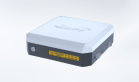
Central Remote Intelligent Link Nest
Central Remote Intelligent Link Nest
Low-altitude flight service platform
Mid Remote Low Altitude Intelligent Control Platform
Digital Products
Turing Digital Earth
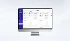
Turing Data Platform
High-resolution maps
Aerial imagery data
Satellite remote sensing data
Services and Applications
Customized UAV development
Aerial Surveying and Mapping Photography
Electronic Map Production
Smart City Development
Natural Resource Applications
Emergency Management Systems
Power Grid Management and Maintenance
Water Resources Industry
Forestry and Grassland Sector
Industry-Education Integration
Ecological Cooperation
More Content
About Us
News Information
Recruitment
Cooperation Consultation
EN
EN
中文
首页
Low-altitude Intelligence
Digital Products
Services and Applications
Ecological Cooperation
More Content
返回
Zhongyao series industrial UAV system
Industrial flight control system
Drone ground station
Central Remote Intelligent Link Nest
Low-altitude flight service platform
返回
Turing Digital Earth
Turing Data Platform
High-resolution maps
Aerial imagery data
Satellite remote sensing data
返回
Customized UAV development
Aerial Surveying and Mapping Photography
Electronic Map Production
Smart City Development
Natural Resource Applications
Emergency Management Systems
Power Grid Management and Maintenance
Water Resources Industry
Forestry and Grassland Sector
Industry-Education Integration
返回
返回
About Us
News Information
Recruitment
Cooperation Consultation
Company News
It is committed to becoming China's leading "sky-air-ground" integrated space information big data operator
About Us
News Information
Recruitment
Cooperation Consultation
Home
>
More Content
>
News Information
Company News
Video
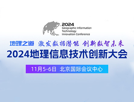
The ZKYS 2024 Geographic Information Technology Innovation Conference has come to a perfect conclusion!
The "2024 Geographic Information Technology Innovation Conference" with the theme of "The Way of Geography Inspires Data Potential and Innovates the Future of Digital Intelligence" was grandly held on the morning
2024-11-06
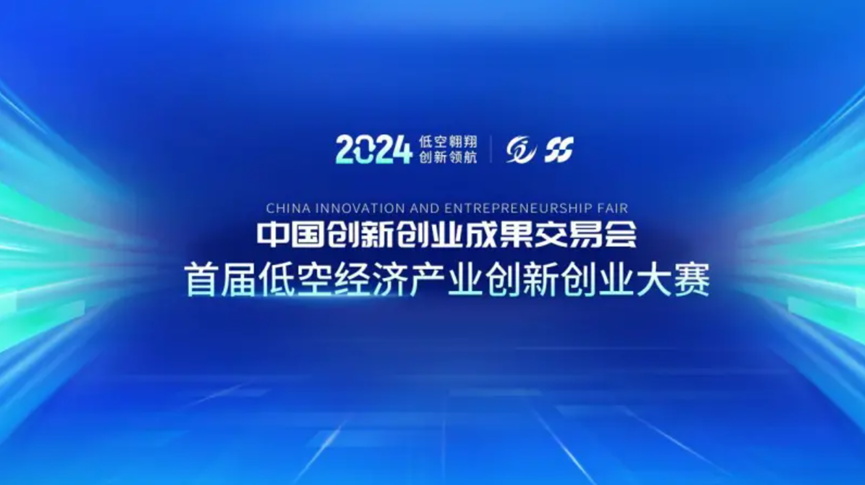
Good news! ZKYS wins third prize
On September 25-26, the 2024 China Innovation and Entrepreneurship Fair (hereinafter referred to as the "Fair") with the theme of "Gathering in Guangzhou, Creating the Future" was held at the Baiyun International Convention Center in Guangzhou.
2024-09-26
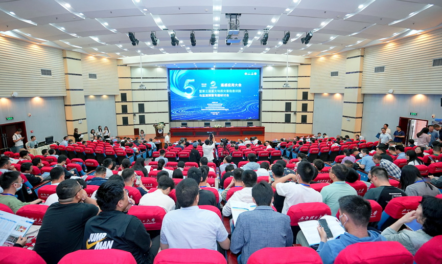
The 5th Remote Sensing Application Conference (Chengdu Station) and the 3rd Special Seminar on Identification, Monitoring and Early Warning of Major Geological Hazards were successfully held
On May 6th, the 5th Remote Sensing Application Conference was grandly held at the Chengdu Station. The theme of this conference is "Building a Large Ecological Environment for Remote Sensing Service Industry and Exploring New Momentum
2023-05-10
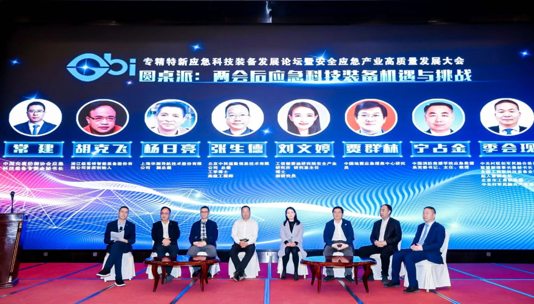
ZKYS invited to attend the Forum on the Development of Specialized, Refined, and New Emergency Technology Equipment
To strengthen the construction of emergency management capabilities, further promote innovation and achievement transformation of emergency scientific and technological equipment, promote the comprehensive development of emergency safety
2023-03-21
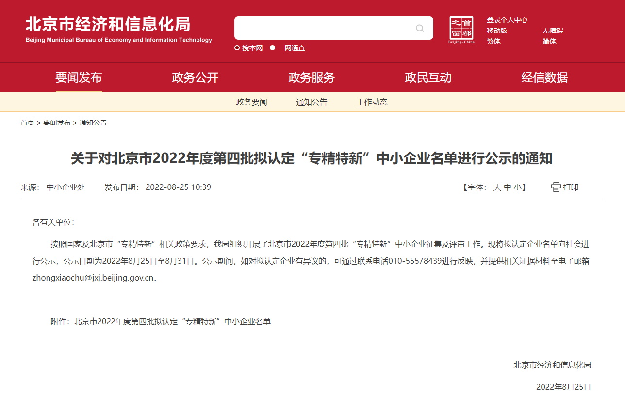
Warm congratulations to our company for being recognized as a "specialized, refined, unique, and innovative" small and medium-sized enterprise in Beijing for the year 2022
On August 25th, the Beijing Municipal Bureau of Economy and Information Technology announced the list of the fourth batch of "specialized, refined, unique and new" small and medium-sized enterprises to be recognized in Beijing for the year 2022
2022-09-01
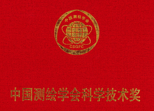
Good news! ZKYS won the National Excellent Surveying and Mapping Engineering Award Gold Award
On August 23rd, our company, together with Shenzhen Urban Public Safety Technology Research Institute Co., Ltd. and Chengdu University of Technology, completed the "Shenzhen Geological Hazard Airborne Lidar Remote Sensing Disaster Reduction
2022-08-31


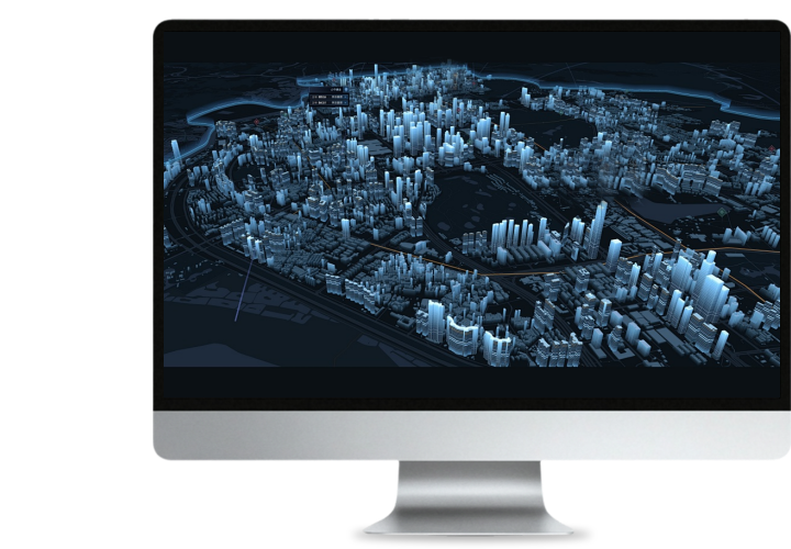
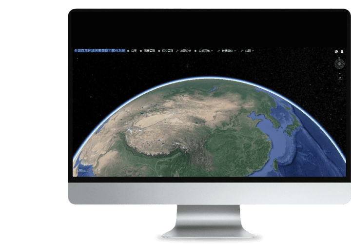 Turing Digital Earth
 Turing Data Platform
 High-resolution maps
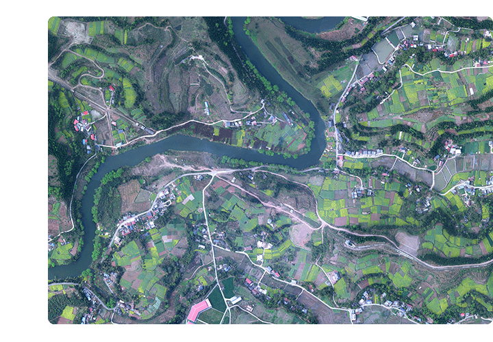 Aerial imagery data
 Satellite remote sensing data
 Customized UAV development
 Aerial Surveying and Mapping Photography
 Electronic Map Production
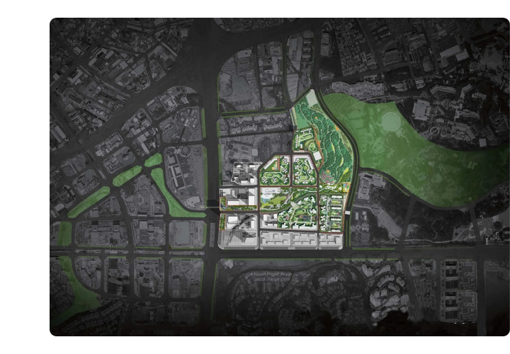
 Smart City Development
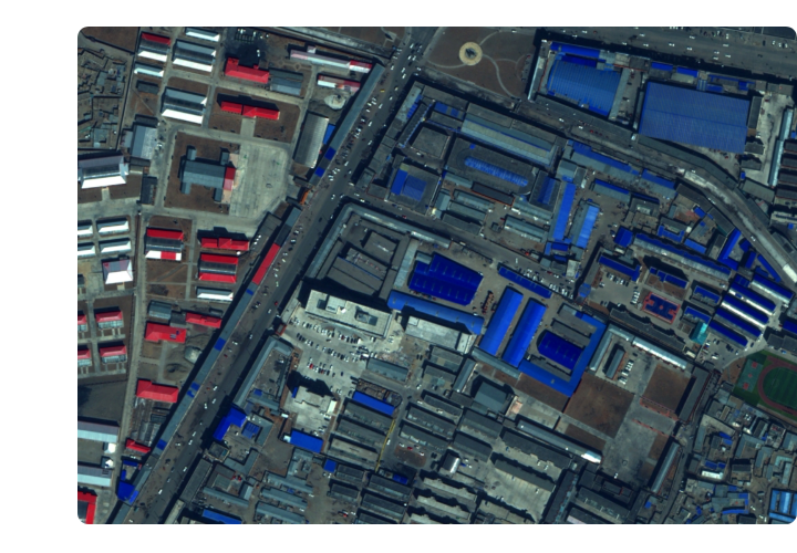
 Natural Resource Applications
 Emergency Management Systems
 Power Grid Management and Maintenance
 Water Resources Industry
 Forestry and Grassland Sector
 Industry-Education Integration
 About Us
 News Information
 Recruitment
 Cooperation Consultation