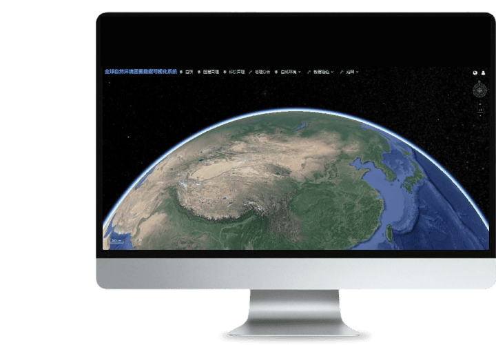
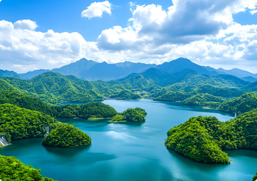
The basic platform has basic data such as elevation, administrative boundary, road, mountain range and water system. Support 3d earthline marking and management
It can analyze, process and display data of various environmental factors such as global land/ocean
Realize online visualization of existing data
It can generate and publish monthly statistics on land, oceans and other areas around the world
Realize service production, service release and service sharing
Realize service production, service release and service sharing


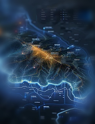
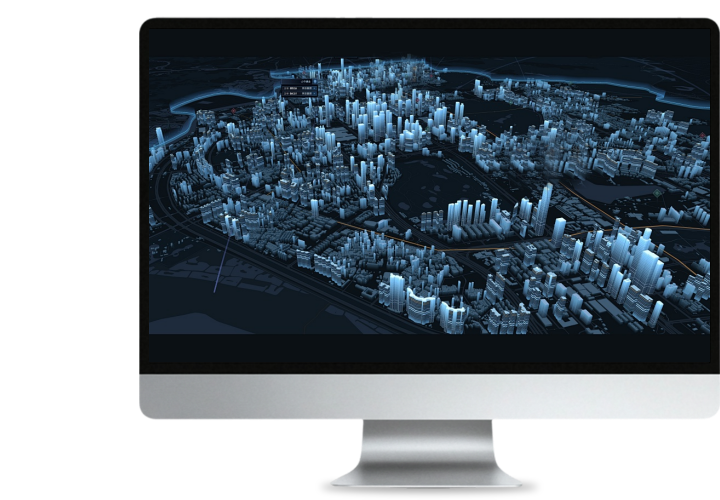 Turing Data Platform
 High-resolution maps
 Aerial imagery data
 Satellite remote sensing data
 Customized UAV development
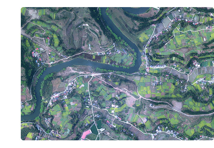
 Aerial Surveying and Mapping Photography
 Electronic Map Production
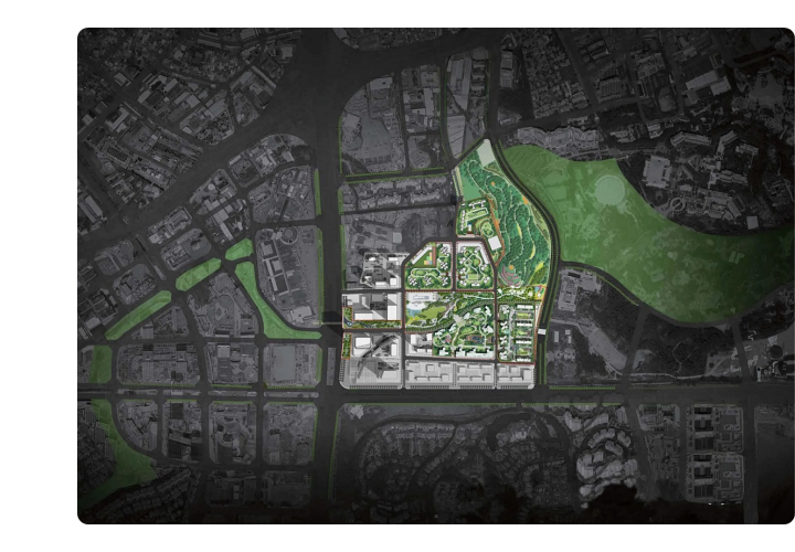
 Smart City Development
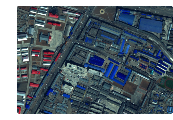
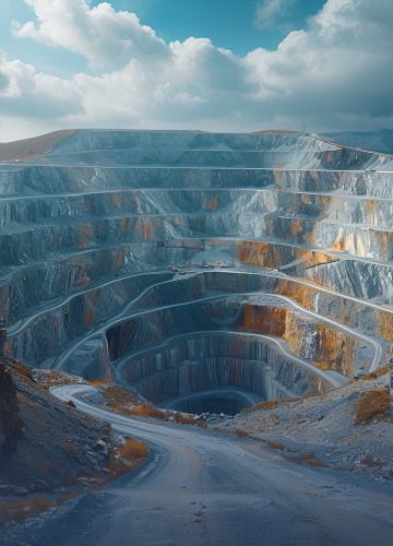 Natural Resource Applications
 Emergency Management Systems
 Power Grid Management and Maintenance
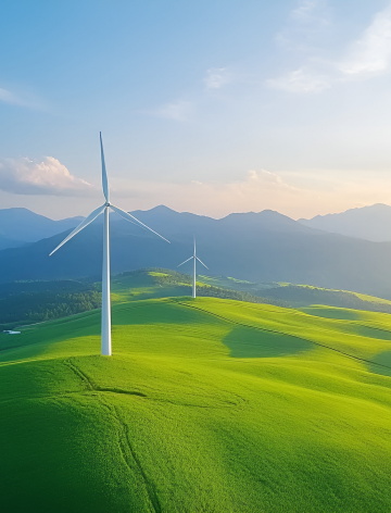
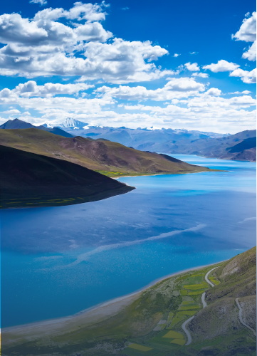 Water Resources Industry
 Forestry and Grassland Sector
 Industry-Education Integration
 About Us
 News Information
 Recruitment
 Cooperation Consultation