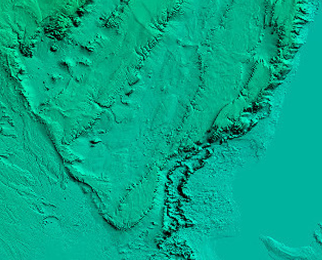
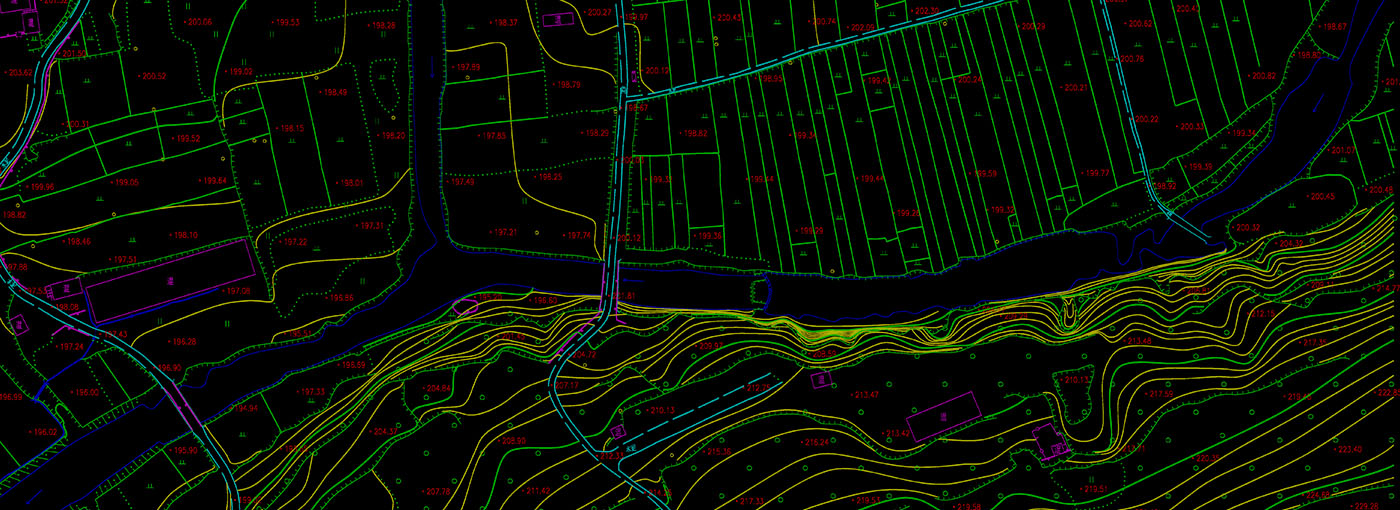
DEM
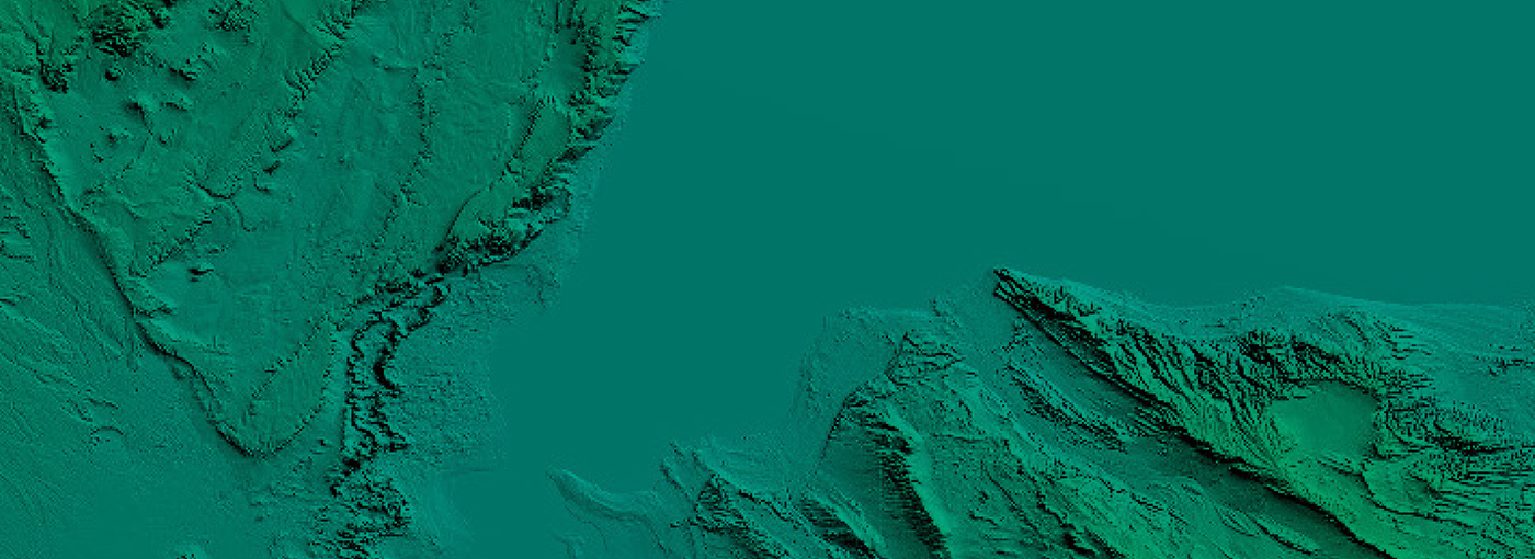
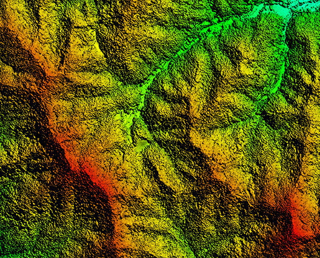
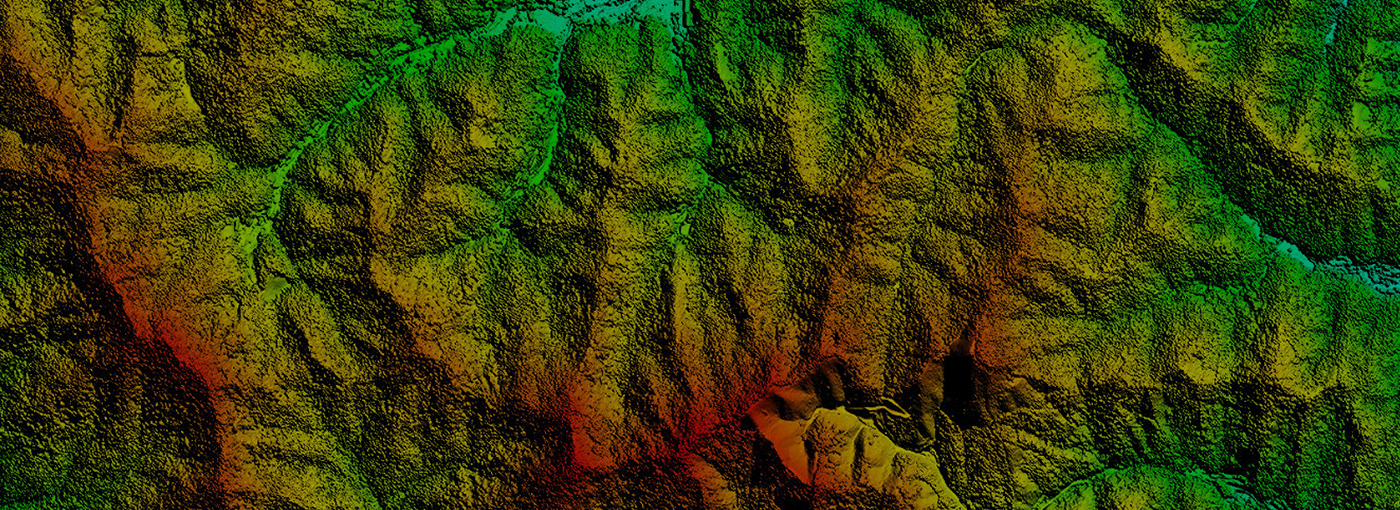
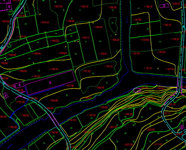
A Digital Elevation Model (DEM) is a dataset containing the planar coordinates and elevations of regular grid points within a specific area. By acquiring terrain elevation data, it enables digital simulation of surface topography and includes essential information such as contour lines, slope gradients, orientation, and slope gradient rates. This model finds extensive applications in various terrain-related fields including surveying, hydrology, meteorology, geomorphology, geology, and military operations.


 Turing Digital Earth
 Turing Data Platform
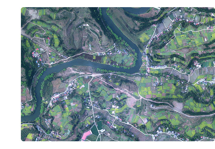
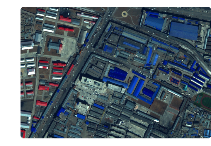
 High-resolution maps
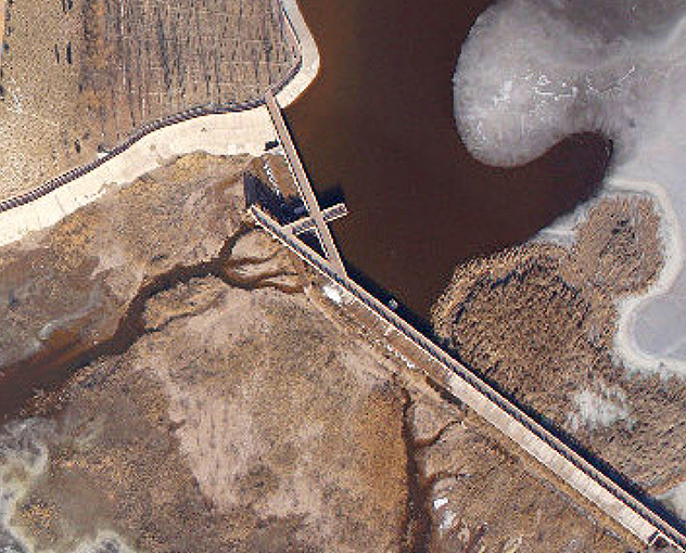
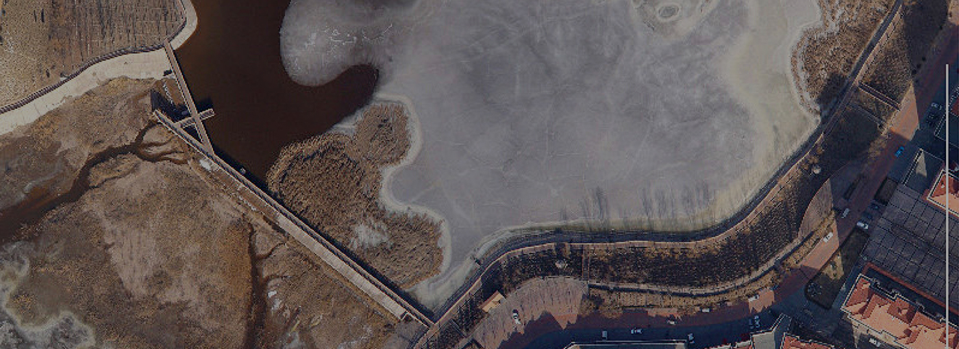
 Satellite remote sensing data
 Customized UAV development
 Aerial Surveying and Mapping Photography
 Electronic Map Production
 Smart City Development
 Natural Resource Applications
 Emergency Management Systems
 Power Grid Management and Maintenance
 Water Resources Industry
 Forestry and Grassland Sector
 Industry-Education Integration
 About Us
 News Information
 Recruitment
 Cooperation Consultation