


 Turing Digital Earth
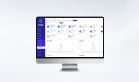
 Turing Data Platform
 High-resolution maps
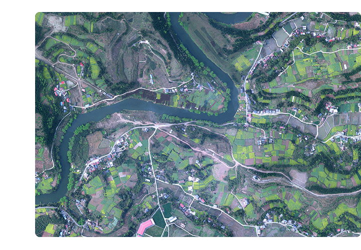 Aerial imagery data
 Satellite remote sensing data
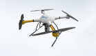
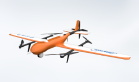
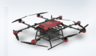
 Customized UAV development
 Aerial Surveying and Mapping Photography
 Electronic Map Production
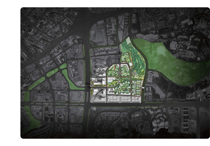
 Smart City Development
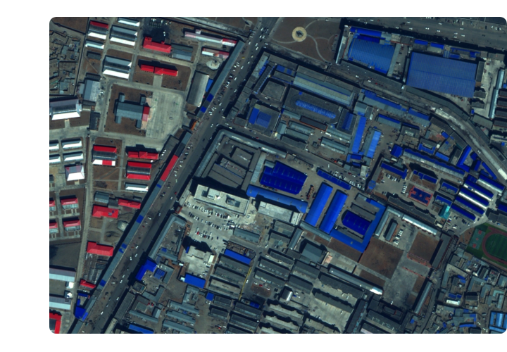
 Natural Resource Applications
 Emergency Management Systems
 Power Grid Management and Maintenance
 Water Resources Industry
 Forestry and Grassland Sector
 Industry-Education Integration
 About Us
 News Information
 Recruitment
 Cooperation Consultation


Beijing ZKYS Remote Sensing Information Technology Co., LTD. (abbreviated as ZKYS, trademark "Zhongyao") was established in 2011 and is committed to becoming China's leading integrated space information big data operator for the "space-air-ground" integration. It is a national high-tech enterprise. Headquartered in Zhongguancun Science Park, National High-Tech Zone, it serves as an incubation base directly under the Beijing Municipal Commission of Science and Technology, while also establishing branches in Sichuan, Qinghai, Jiangsu, and Gansu.
ZKYS, backed by the Chinese Academy of Sciences' Remote Sensing and Spatial Information Technology, is a "space-air-ground" integrated spatial information service provider. The company holds a national civil unmanned aircraft operation license, national surveying and mapping qualifications, system integration certifications, ISO 9001:2015 quality management system certification, and over 200 patents and software copyrights as its core intellectual property. Its main business includes independently developing and manufacturing industrial UAV flight control hardware and software systems, providing industry solutions for drone remote sensing and spatial information systems; designing, researching, and producing emergency monitoring and command systems; offering massive spatial data acquisition and processing services; developing smart city spatiotemporal information cloud platforms; and providing international business consulting and collaborative partnerships in related fields.
As a pioneer in industrial UAV remote sensing system innovation, ZKYS has independently developed industry-leading flight control and navigation systems. The company has launched over 10 professional UAV models, significantly enhancing the intelligence level of drone-based remote sensing and spatial data applications. Its emergency monitoring and command system, designed around the "space-air-ground" integrated big data concept for remote sensing and spatial information, enables rapid acquisition of multi-source, multi-dimensional massive spatial data, on-site processing and analysis, along with remote collaboration platforms for joint decision-making. Equipped with the internationally advanced Riegl 1560i LiDAR device, ZKYS's self-developed technologies including UAV-mounted LiDAR, hyperspectral cameras, and tilt cameras provide technical support for multi-source high-precision map collection.
ZKYS boasts a team of highly qualified professionals with master's and doctoral degrees, having been involved in major national projects including the National High-Tech Industrialization Demonstration Project, key science and technology initiatives under the National Development and Reform Commission (NDRC), and significant programs by land administration authorities. Guided by the principles of "customer-first philosophy, integrity and compliance, teamwork, and innovation-driven solutions," the company strives to deliver comprehensive application solutions and reliable technical support across various sectors. We dedicate our expertise to fostering social harmony, environmental sustainability, and economic development through innovative approaches.