Point cloud data and oblique image data
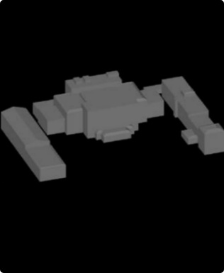
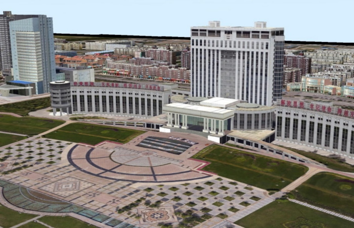
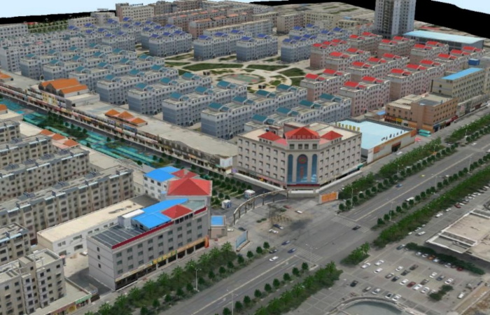
By leveraging point cloud data and oblique imagery, we rapidly generate 3D models through software automation and manual verification. These models are then analyzed and quantified using professional 3D real-scene platforms. This approach delivers fast construction speed, high precision, authentic textures, and highly modular structures. The resulting diverse outcomes effectively meet both industry-specific requirements and urban development demands.
Establish an integrated intelligent remote sensing monitoring system of "sky and ground"
By establishing an integrated "sky-ground-space" intelligent remote sensing monitoring system, we can obtain multi-dimensional and comprehensive perception data. Spatially, it achieves multi-scale coverage from macro-regions to micro-plot levels; temporally, it forms continuous observations spanning hourly to interannual variations; and element-wise, it encompasses all urban elements including natural resources, ecological environment, infrastructure, and socio-economic factors. This provides a precise spatial data foundation for urban planning, construction, management, and services. Through building a digital twin of cities, the system enables simulation and intelligent prediction of complex urban systems, thereby transforming urban governance decision-making from "empirical judgment" to "data-driven" scientific basis. This advancement drives the evolution of urban governance models toward full-process intelligence encompassing pre-event warnings, real-time regulation, and post-event evaluations.
Data Results

It builds a terrain-level, city-level and component-level real-scene 3D construction base, and its products cover the land surface, underground and underwater.
LiDAR Works software platform

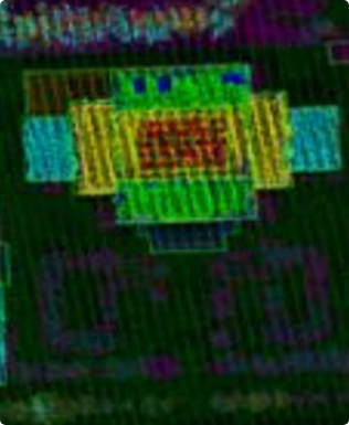
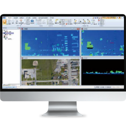
LiDARWorks software platform is a comprehensive software platform for airborne lidar data processing and application based on the latest data processing technology of airborne lidar and developed with VC++ on the basis of the achievements of the national high-tech development plan-863 Program of China.

LiDARWorks supports the input, display, and output of multi-source heterogeneous data including raster imagery, vector data, Digital Elevation Model (DEM), and LiDAR 3D point cloud datasets. It features comprehensive capabilities for reading, writing, displaying, managing, performing basic processing, and executing specialized applications on massive LiDAR data. Core functionalities include: 1) Reading and writing airborne LiDAR data; 2) Visualizing and querying multi-view (2D/3D/slice) and multi-thematic (elevation, categories, intensity, swath) information; 3) Engineering management and batch processing of large-scale airborne LiDAR datasets; 4) Automatic filtering/categorization with manual editing options; 5) Geospatial application processing for LiDAR data, such as producing Digital Elevation Models (including grid-based DEMs,Topographic Interpolated Networks, contour lines) and building digital city models using airborne LiDAR data.
Application Area
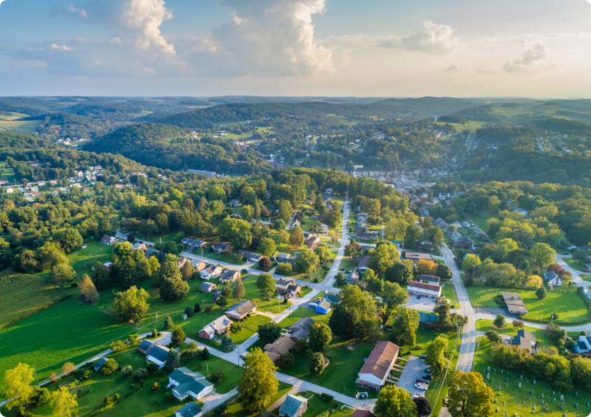
  • Urban planning and construction
    It provides accurate data support for urban land use, traffic planning and environmental monitoring.
  • Agricultural sector
    It plays an important role in precision agriculture, land resource survey, crop yield estimation and other agricultural management.
  • Geological and resource survey
    Through the survey and identification of landforms, geological disasters can be warned and evaluated.
  • Environmental protection and monitoring
    Monitor vegetation coverage, water changes and pollutant discharge to provide timely and accurate information for environmental protection.