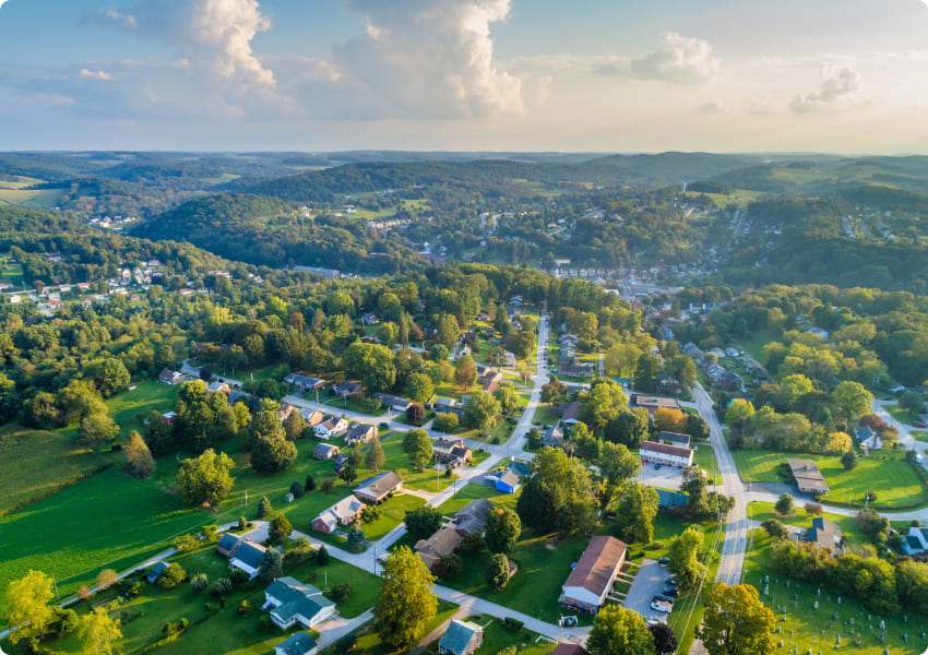
Compared to traditional river survey methods like field measurements and aerial surveys, airborne LiDAR technology enables rapid acquisition of terrain data through point cloud generation. The processed Digital Orthophoto (DOM) and Digital Elevation Model (DEM) derived from this data can effectively monitor surface and geomorphological changes. These technologies provide essential foundational data and technical support for implementing water pollution control, flood prevention, irrigation systems, navigation infrastructure, and boundary demarcation of rivers and lakes. Furthermore, they offer critical references for planning and designing subsequent projects involving water resource development, flood mitigation, irrigation networks, shipping routes, and hydropower generation facilities.
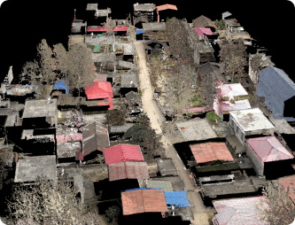
River image map
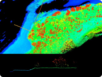
Color on both sides of the river
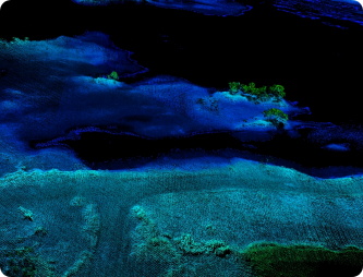
River point cloud results
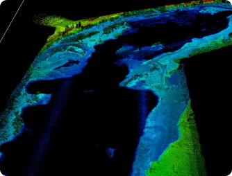
River data cross section map
Product Features
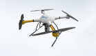
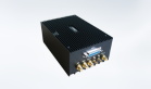
Lidar data
Lidar data can effectively solve the problem of dense vegetation on both sides of the river. Through the vegetation penetration and automatic filtering algorithm of laser, a reliable terrain model can be obtained and cross section data can be extracted directly
High resolution images
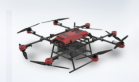
Using synchronized acquisition of high resolution images can be combined with supporting lidar system to synthesize color point clouds or directly construct three-dimensional surface model
River characteristics
According to the characteristics of the river, the orthoimage of the water area can be directly obtained by the direct orientation method through the original photo and the high-precision inertial data of lidar
River survey strip route
Based on the fully self-developed 3D GIS platform, it provides free multi-source 3D remote sensing data and local remote sensing data import, and supports 3D route design system and other functions.
Application Area
Hydrological analysis
Accurate cross-sectional data of the river, such as river width, water depth, slope of the slope, etc., can be used to simulate the water level, flow velocity and inundation range under different flows.
River channel management and flood control engineering
Accurate topographic data, monitoring the settlement and displacement of embankments, providing accurate design basis and engineering quantity accounting for the project.
Water resources planning and scheduling
Underwater topographic survey of reservoirs and lakes is the core basis for reservoir operation, benefit calculation of flood control, and improve accuracy and water resources utilization efficiency.
Ecological environment monitoring and restoration of water
The terrain of river channel is complex, and accurate river channel terrain is the premise of constructing water quality model, predicting water quality change and tracking pollution source.


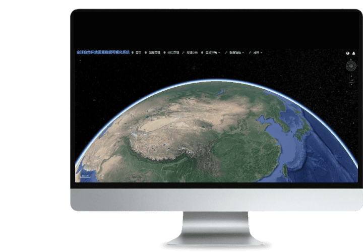 Turing Digital Earth
 Turing Data Platform
 High-resolution maps
 Aerial imagery data
 Satellite remote sensing data
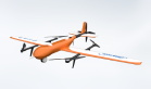
 Customized UAV development
 Aerial Surveying and Mapping Photography
 Electronic Map Production
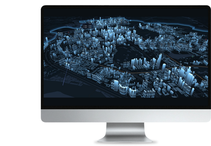
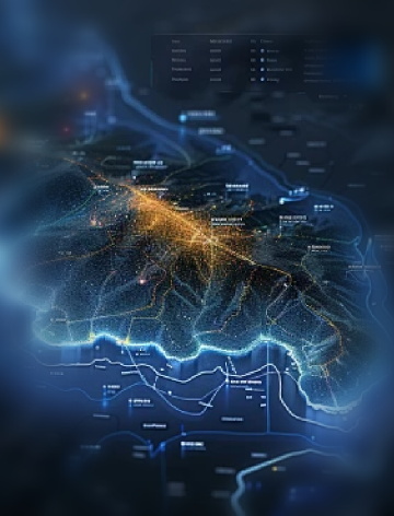
 Smart City Development
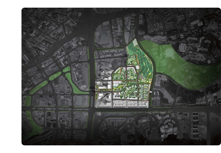
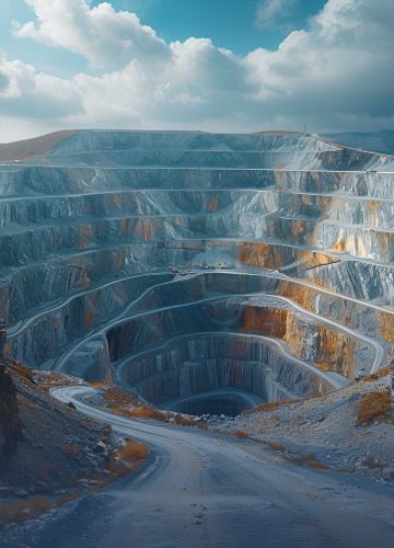 Natural Resource Applications
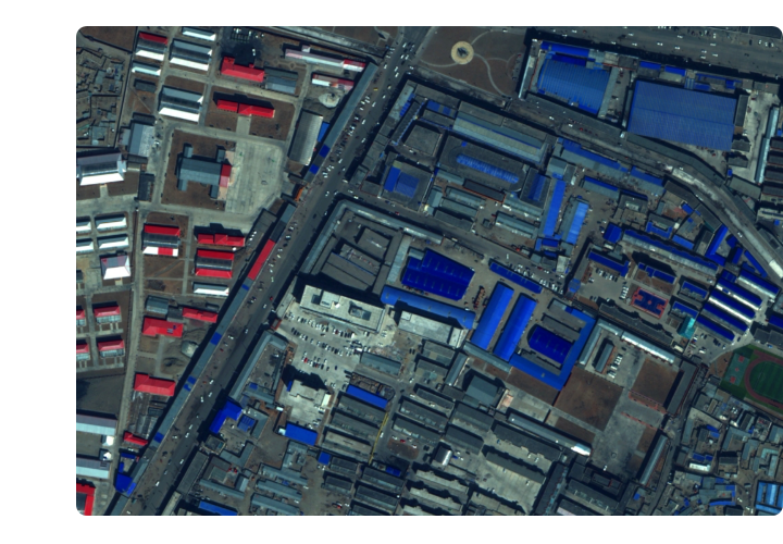
 Emergency Management Systems
 Power Grid Management and Maintenance
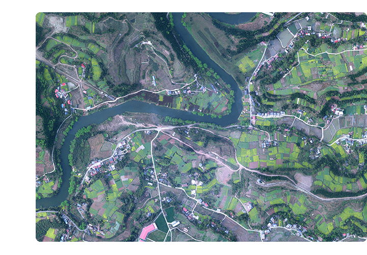
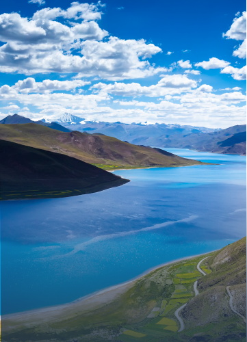 Water Resources Industry
 Forestry and Grassland Sector
 Industry-Education Integration
 About Us
 News Information
 Recruitment
 Cooperation Consultation