By integrating multi-source data including laser point clouds, imagery, and hyperspectral imagery with specialized forestry analysis software, this system extracts forest parameters and statistical variables to rapidly reconstruct biomass, forest stock volume, and canopy coverage. It assesses canopy density levels and age-specific characteristics of trees while estimating species distribution. The platform enables automated extraction of forest structural parameters and 3D scene reconstruction, providing essential tools for forestry monitoring and management.
Data Types
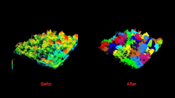
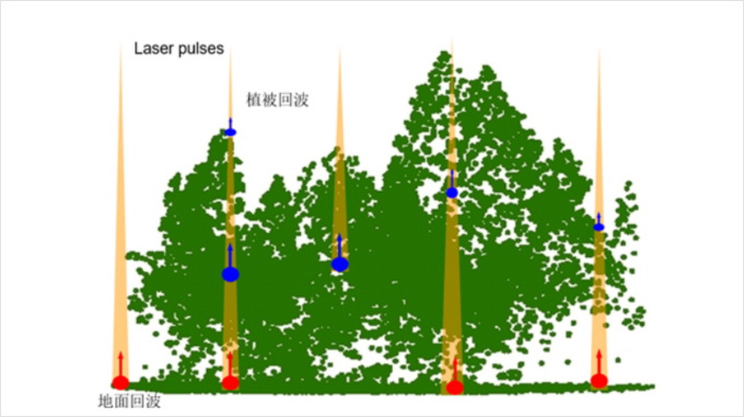
High precision point cloud
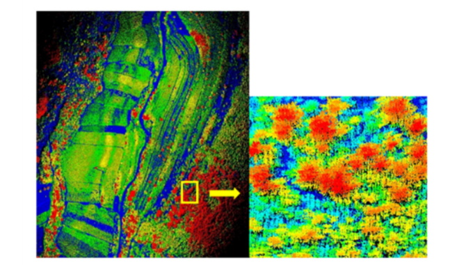
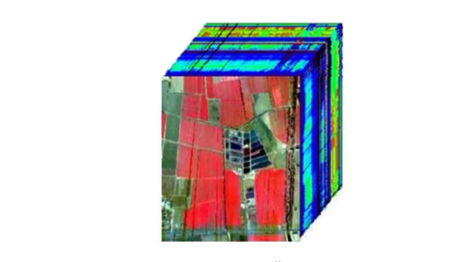
Hyperspectral image
Industry Applications
Single tree segmentation
Leaf area index (LAI) estimation based on point cloud
Product Features
Full elementScenario integration
Collect and integrate data from different sources to truthfully record and present the status of forestry resources
Multi-sensorMethod integration
Build a three-dimensional sensing system of "air, space and ground", coordinate satellites, drones and IOT, and obtain information in real time
IntelligentManagement support
The integration of AI and artificial intelligence into forestry and grassland regulation will help scientific management, increase efficiency and reduce burden, and implement the dual carbon strategy
StandardizationData base
Based on the high-quality data base, it supports data management, data fusion, data analysis, prediction and early warning
Application Area
Forest farms Fine management
Forest small spot management, coverage and stock volume, "three cuts and three leaves", 3d sandbox
Forestry law Enforcement monitoring
Annual change survey of state-owned forest farms and nature reserves, logging quotas, expropriation and occupation of woodland
Ecological Restoration and conservation
Ecological protection and restoration projects, desertification control projects, forestry disease monitoring, soil erosion monitoring, forest city assessment
Conservation Survey management
Monitoring of biodiversity, monitoring of human activities, compensation for ecological public welfare forests, verification of commercial logging of natural forests, survey of wildlife resources and status of resources


 Turing Digital Earth
 Turing Data Platform
 High-resolution maps
 Aerial imagery data
 Satellite remote sensing data
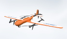
 Customized UAV development
 Aerial Surveying and Mapping Photography
 Electronic Map Production
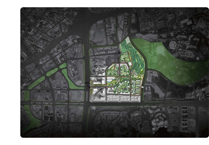
 Smart City Development
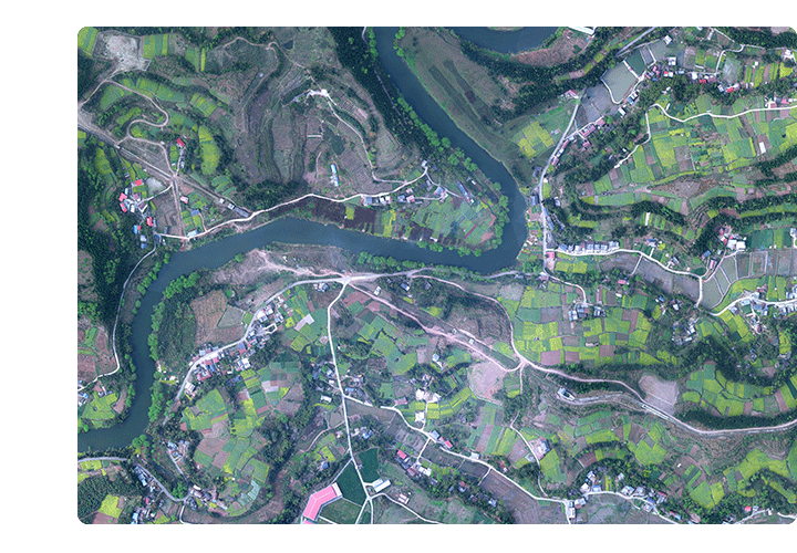
 Natural Resource Applications
 Emergency Management Systems
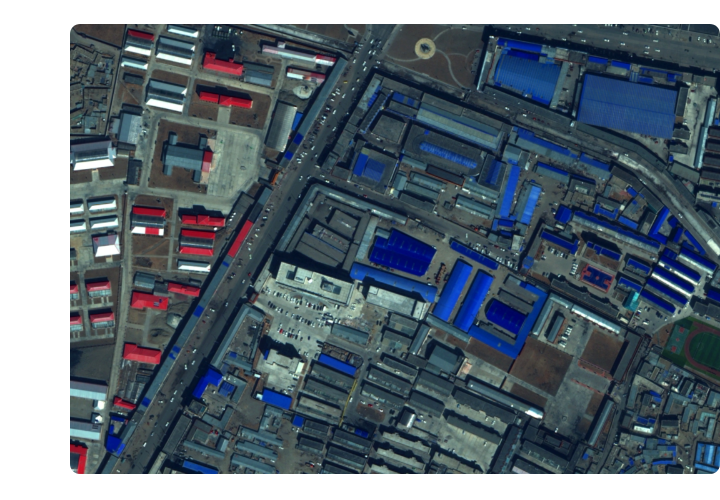
 Power Grid Management and Maintenance
 Water Resources Industry
 Forestry and Grassland Sector
 Industry-Education Integration
 About Us
 News Information
 Recruitment
 Cooperation Consultation