


 Turing Digital Earth
 Turing Data Platform
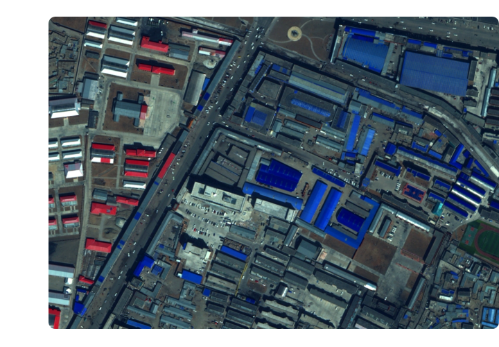
 High-resolution maps
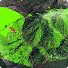
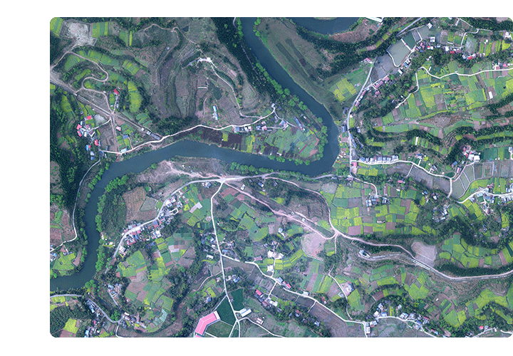 Aerial imagery data
 Satellite remote sensing data
 Customized UAV development
 Aerial Surveying and Mapping Photography
 Electronic Map Production
 Smart City Development
 Natural Resource Applications
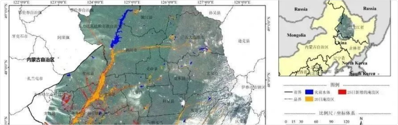
 Emergency Management Systems
 Power Grid Management and Maintenance
 Water Resources Industry
 Forestry and Grassland Sector
 Industry-Education Integration
 About Us
 News Information
 Recruitment
 Cooperation Consultation


The Zhongyao Emergency Monitoring and Command System integrates drone-based low-altitude remote sensing, rapid processing and interpretation of remote sensing data, disaster situation remote consultation and communication, emergency command, and support systems. It fully leverages the capabilities of fixed-wing drones for large-scale macro monitoring, multi-rotor drones for fixed-point hovering surveillance, real-time dynamic monitoring through individual soldier systems, real-time command via electronic sand tables, remote joint consultations with experts, instant news releases by media outlets, and cloud-based satellite data transmission.
The Zhongyao Remote Monitoring and Command System is characterized by "flexibility, mobility, speed, and efficiency". During major or catastrophic disasters, it can swiftly deploy to affected areas to establish a frontline command center. Serving as both the accident command hub and communication node, this system provides real-time, accurate on-site conditions and remote sensing data to various command departments. This delivers intuitive and reliable first-hand information for leadership decision-making and frontline operations, thereby enhancing capabilities in rapid response, unified command, and coordinated operations.