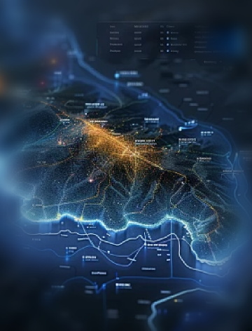
Through the sky-earth integration (satellite + UAV + remote intelligent video surveillance) monitoring technology, problems such as illegal mining, illegal construction, illegal occupation of land and ecological damage can be found in time. Through the platform, the problem discovery, reporting, approval, verification, filing and other problem disposal closed loop can be realized.
01
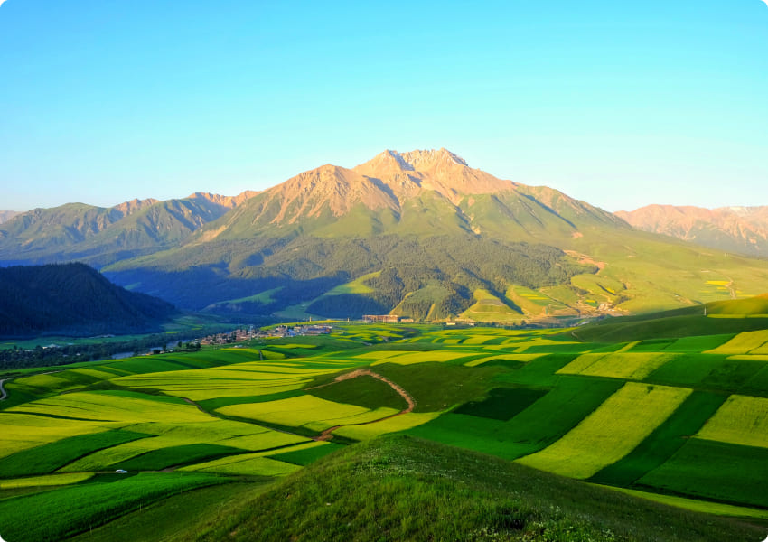
Periodic and global remote sensing dynamic monitoring
02
24-hour online monitoring of key areas
03
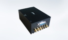
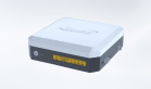
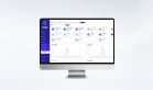
R & D system platform and construction command center
Solving Pain Points
Law enforcement personnel have heavy tasks
Single means of law enforcement and inspection
Long cycle of satellite image monitoring
Difficult law enforcement management
Difficult to find illegal behaviors
The efficiency of law enforcement is low
The investigation and collection of evidence is difficult
The task of law enforcement personnel is heavy
Remote sensing dynamic monitoring
High-frequency remote sensing monitoring services based on multi-source satellite data, such as "two violations", illegal mining, land expropriation/post-approval supervision, forest cutting and land use monitoring.
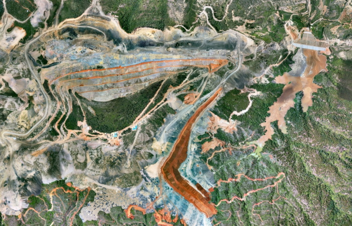
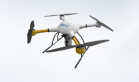
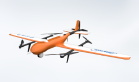
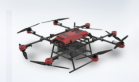
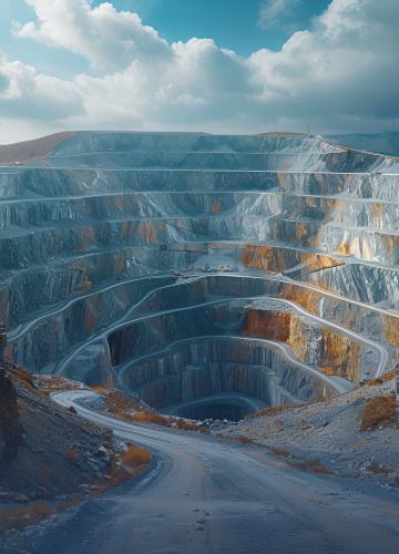
Three-dimensional telemetry of mines and other resources
Using the construction method of remote sensing + Internet of Things hardware, high-frequency satellite images and dynamic videos are linked to each other to realize all-weather telemetry supervision, so that illegal events can be traced from post to pre-warning and have evidence to check, remote sensing high-frequency monitoring and intelligent video surveillance in key areas.
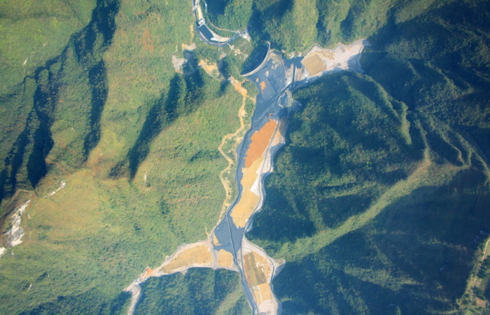
Remote sensing monitoring and supervision of "four disorders" in rivers and lakes
Based on satellite remote sensing, AI intelligent interpretation and human-computer interactive interpretation, an intelligent air, space and ground supervision system for "four disorders" and water shoreline has been built, and a mechanism for river and lake shoreline supervision, problem verification, feedback distribution and problem tracking service has been established to promote the normalization and standardization of river and lake supervision proposed by the Ministry of Water Resources.
Application Area
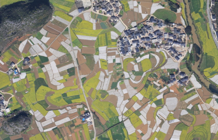
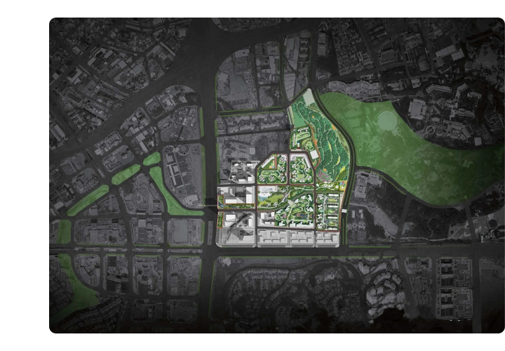
Urban planning and construction
It provides accurate data support for urban land use, traffic planning and environmental monitoring.
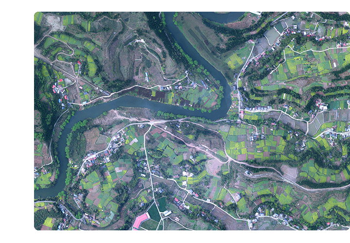
Agricultural sector
It plays an important role in precision agriculture, land resource survey, crop yield estimation and other agricultural management.
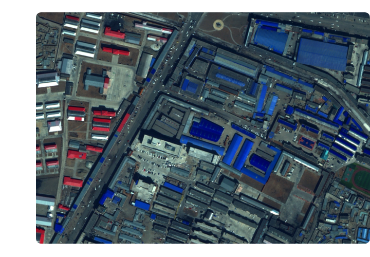
Geological and resource survey
Through the survey and identification of landforms, geological disasters can be warned and evaluated.
Environmental protection and monitoring
Monitor vegetation coverage, water changes and pollutant discharge to provide timely and accurate information for environmental protection.


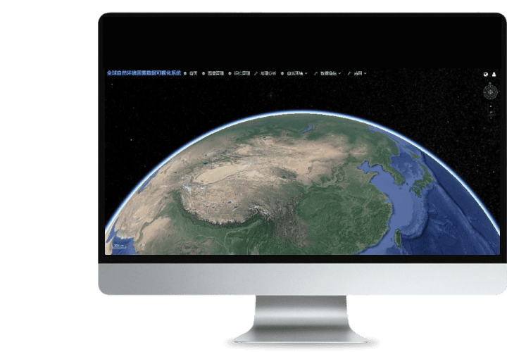 Turing Digital Earth
 Turing Data Platform
 High-resolution maps
 Aerial imagery data
 Satellite remote sensing data
 Customized UAV development
 Aerial Surveying and Mapping Photography
 Electronic Map Production
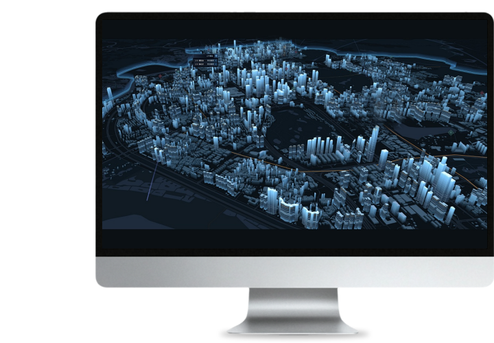
 Smart City Development
 Natural Resource Applications
 Emergency Management Systems
 Power Grid Management and Maintenance
 Water Resources Industry
 Forestry and Grassland Sector
 Industry-Education Integration
 About Us
 News Information
 Recruitment
 Cooperation Consultation