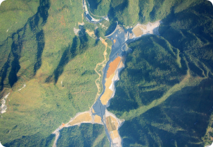
National satellite remote sensing image products
National digital elevation products
National transportation maps
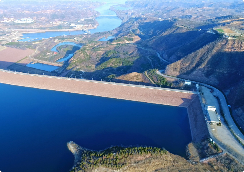
National water conservancy maps
National electronic map database
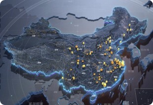
Urban telecommunications data
National satellite remote sensing image products


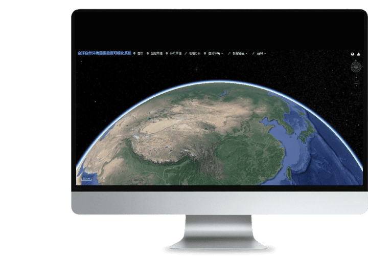 Turing Digital Earth
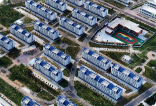
 High-resolution maps
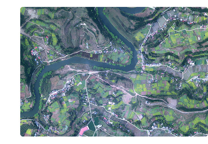 Aerial imagery data
 Satellite remote sensing data
 Customized UAV development
 Aerial Surveying and Mapping Photography
 Electronic Map Production
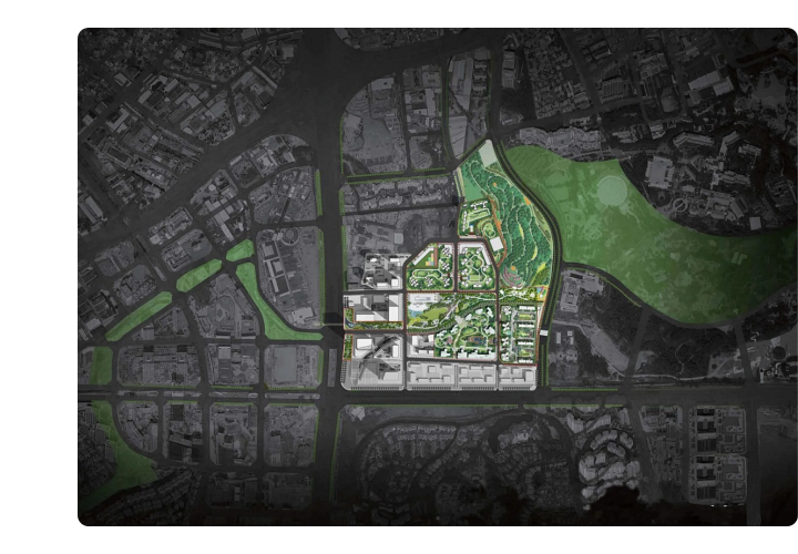
 Smart City Development
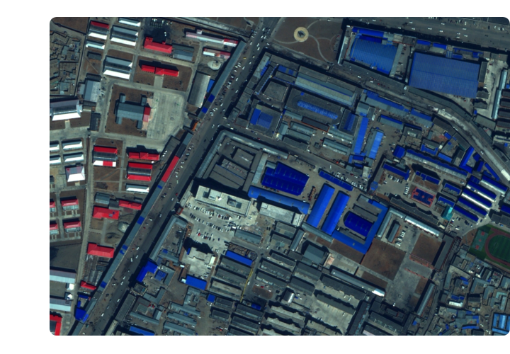
 Natural Resource Applications
 Emergency Management Systems
 Power Grid Management and Maintenance
 Water Resources Industry
 Forestry and Grassland Sector
 Industry-Education Integration
 About Us
 News Information
 Recruitment
 Cooperation Consultation