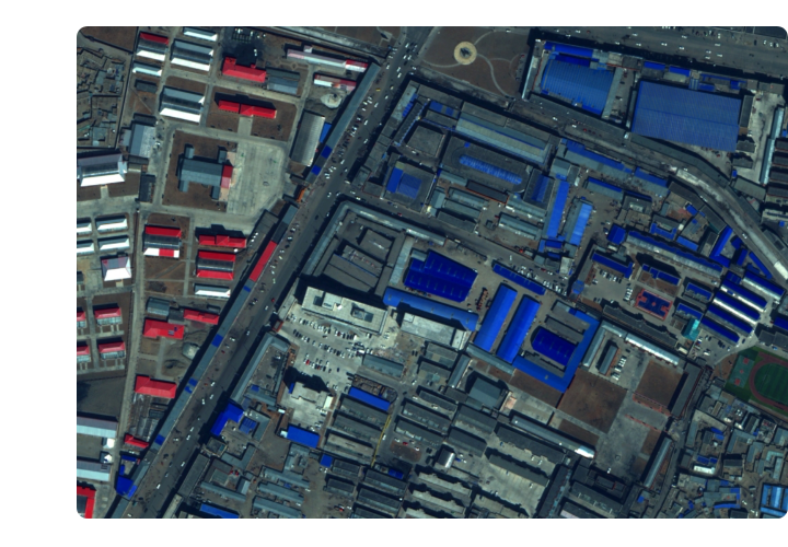
Complete data categories
Optical images, multispectral images, luminescent images, video images, stereo images and other types of satellite remote sensing data
High data resolution
The highest resolution of full-color image is 0.5m, the highest resolution of multi-spectral image is 2.88m, and the highest resolution of night light image is 0.92m
Rich data resources
5+ years of high-resolution, global satellite archival data
High data real-time
Has the ability to revisit any location in the world 8-10 times a day, can obtain the latest image data of any location in the world in real time
Satellite programming photography service
Customized (urgent, fixed cycle, fixed time) image shooting service according to user needs
Diversified data processing services
Providing archived image data services, satellite photography programming services, and production of standard products and value-added products for satellite image data


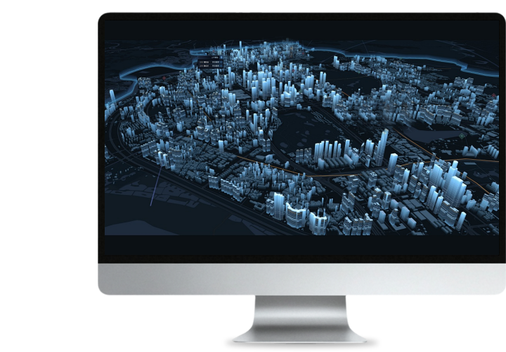
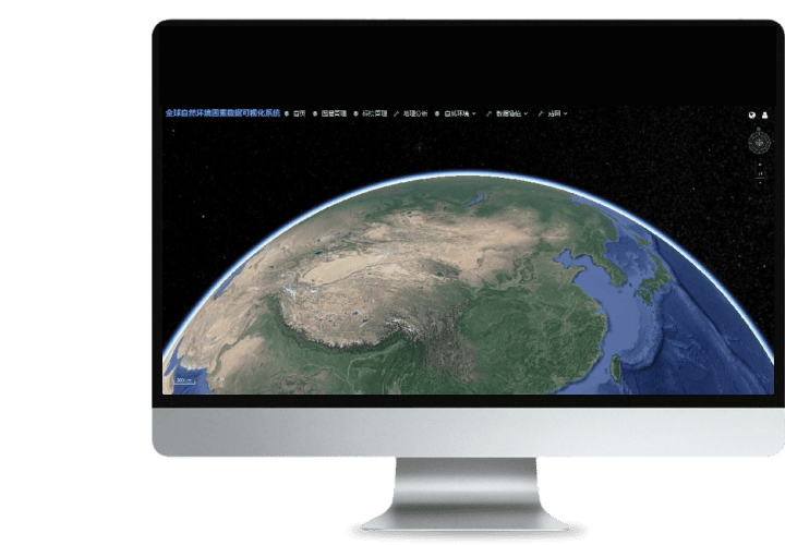 Turing Digital Earth
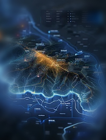
 Turing Data Platform
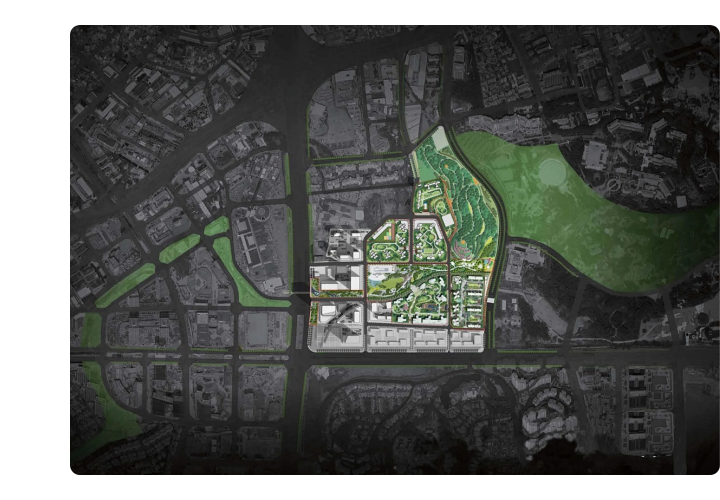 High-resolution maps
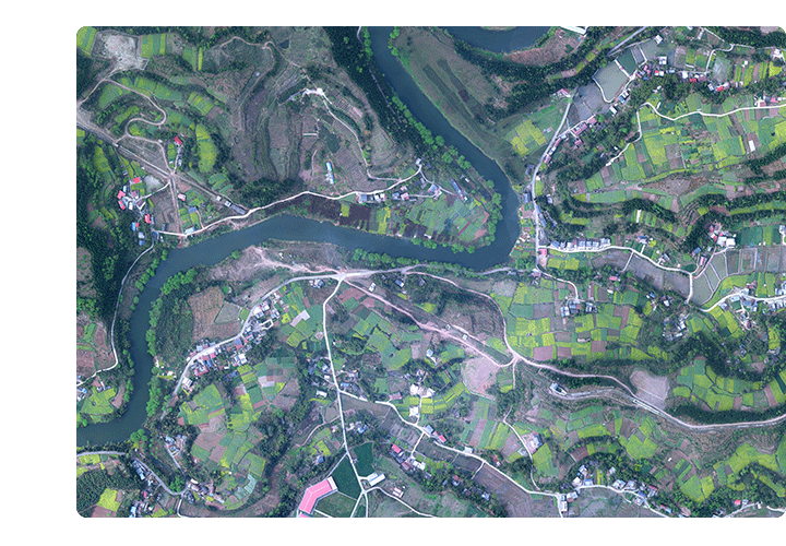 Aerial imagery data
 Customized UAV development
 Aerial Surveying and Mapping Photography
 Electronic Map Production
 Smart City Development
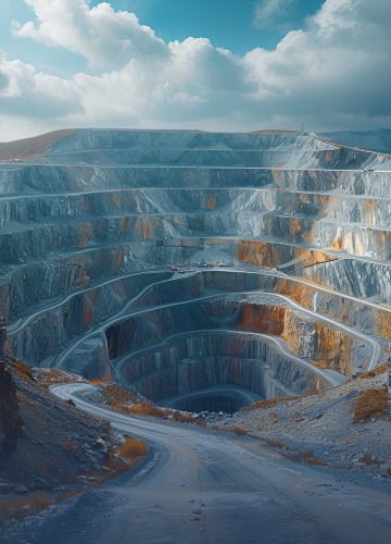 Natural Resource Applications
 Emergency Management Systems
 Power Grid Management and Maintenance
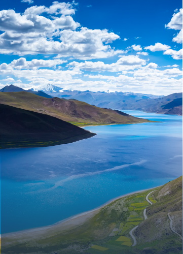 Water Resources Industry
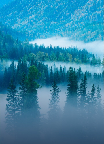 Forestry and Grassland Sector
 Industry-Education Integration
 About Us
 News Information
 Recruitment
 Cooperation Consultation