

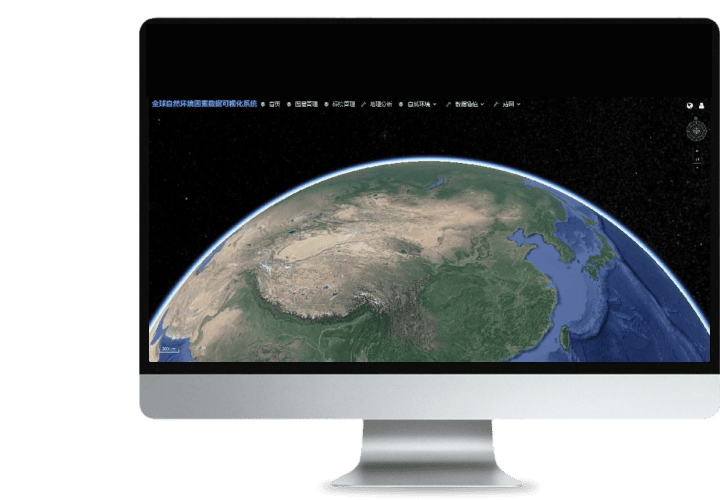
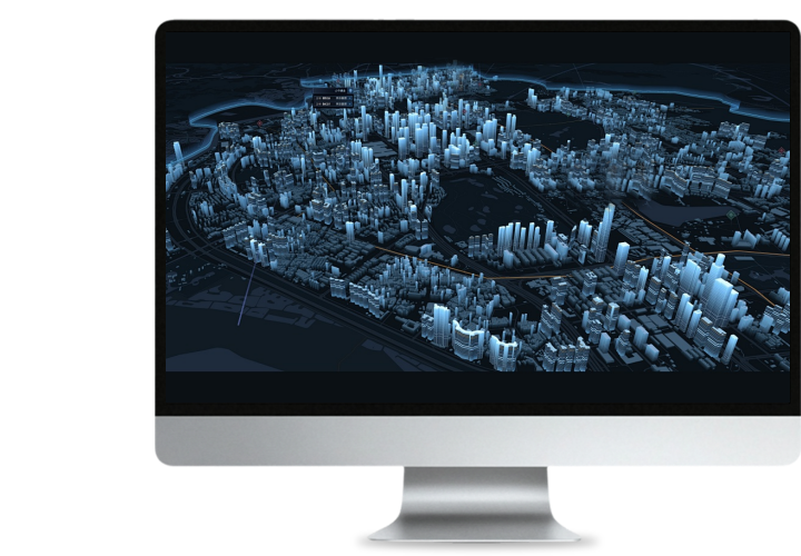
 Turing Digital Earth
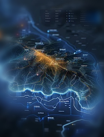
 Turing Data Platform
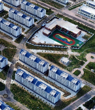
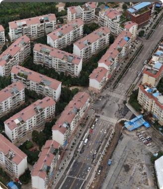
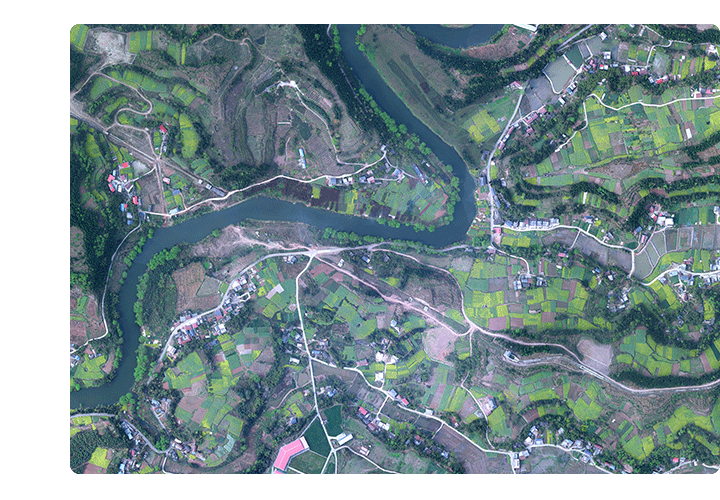 Aerial imagery data
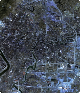
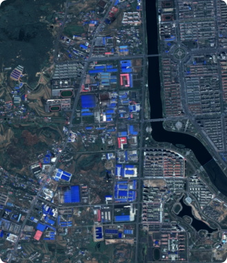
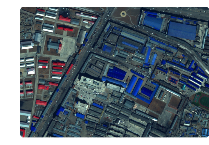 Satellite remote sensing data
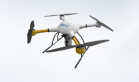
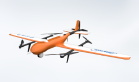
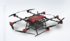
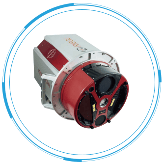
 Customized UAV development
 Aerial Surveying and Mapping Photography
 Electronic Map Production
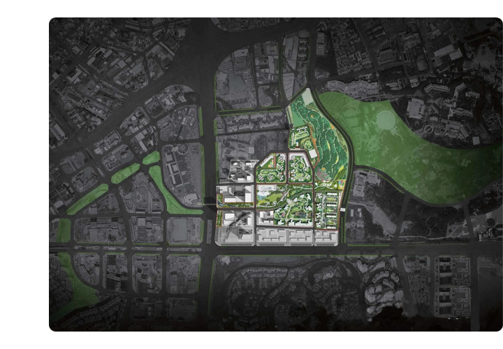
 Smart City Development
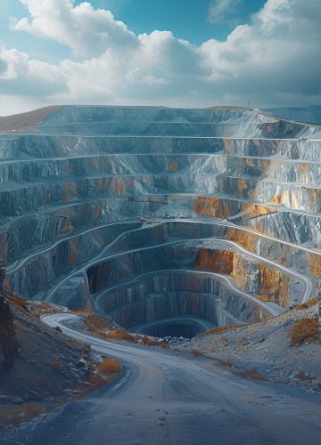 Natural Resource Applications
 Emergency Management Systems
 Power Grid Management and Maintenance
 Water Resources Industry
 Forestry and Grassland Sector
 Industry-Education Integration
 About Us
 News Information
 Recruitment
 Cooperation Consultation


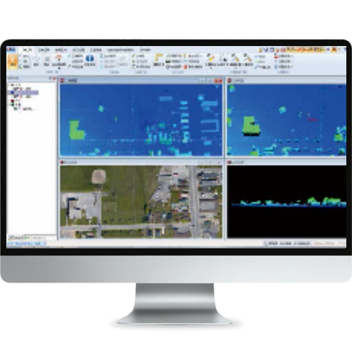
LiDARWorks software platform is a comprehensive software platform for airborne lidar data processing and application based on the latest data processing technology of airborne lidar and developed with VC++ on the basis of the achievements of the National High-tech Development Program-863 Program project of ZKYS.
LiDARWorks supports the input, display, and output of multi-source heterogeneous data including raster imagery, vector data, Digital Elevation Model (DEM), and LiDAR 3D point cloud datasets. It features comprehensive capabilities for reading, writing, displaying, managing, performing basic processing, and executing specialized applications of massive LiDAR data. Key functionalities include: reading/writing airborne LiDAR data; visualizing and querying multi-view (2D/3D/slice) and multi-thematic (elevation, categories, intensity, swath) information; engineering management and batch processing of large-scale airborne LiDAR datasets; automated filtering/categorization with manual editing; and geospatial application processing for airborne LiDAR data (including digital elevation model production such as grid-based DEM, Topographic Interpolated Network, contouring, and digital city modeling based on airborne LiDAR data).