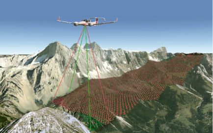
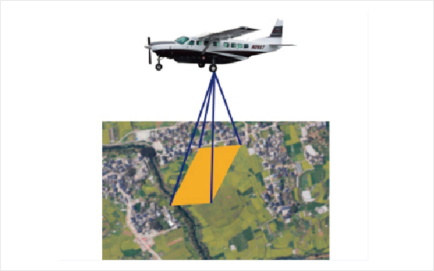
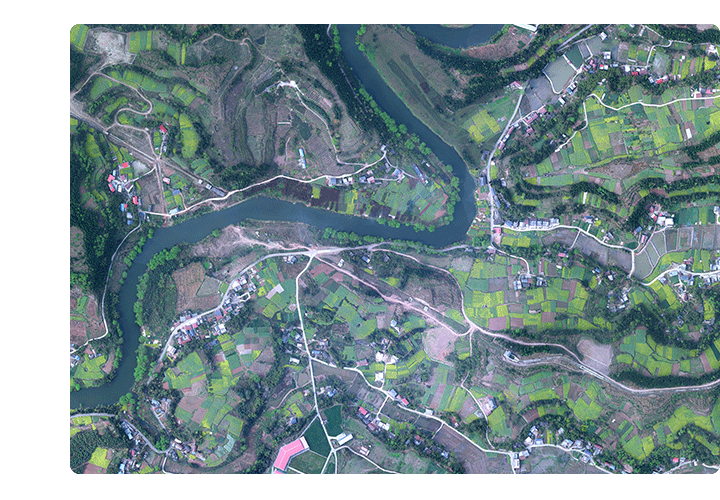
Based on multi-source remote sensing data acquisition platforms such as satellite and aviation, multi-spectral and hyperspectral image data and point cloud data with different resolutions are acquired. Through professional data processing methods, digital elevation model (DEM), digital orthophoto (DOM) and digital line drawing (DLG) are produced to assist the application of spatial planning of land resources.
Image, point cloud and other data collection according to the design parameters of Hangfei
02
Field survey
Collect approximate coordinates of control points; field control survey
03
Data preprocessing
Conversion of special format into general format and other preprocessing
06
Submission of results
After passing the inspection of results, the results shall be sorted out and submitted according to project requirements
05
Quality inspection
According to the industry specifications such as "Quality Inspection and Acceptance of Surveying and Mapping Results", the system of two-level inspection and one-level acceptance shall be strictly implemented
04
Data results production
production of 3D model, DOM, DEM, DSM and other results
Application Area
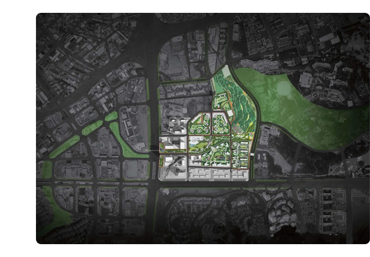
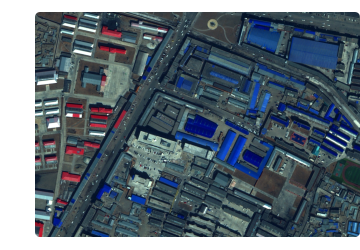
Urban planning and construction
It provides accurate data support for urban land use, traffic planning and environmental monitoring.
Agricultural sector
It plays an important role in precision agriculture, land resource survey, crop yield estimation and other agricultural management.
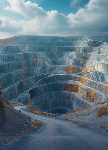
Geological and resource survey
Through the survey and identification of landforms, geological disasters can be warned and evaluated.
Environmental protection and monitoring
Monitor vegetation coverage, water changes and pollutant discharge to provide timely and accurate information for environmental protection.


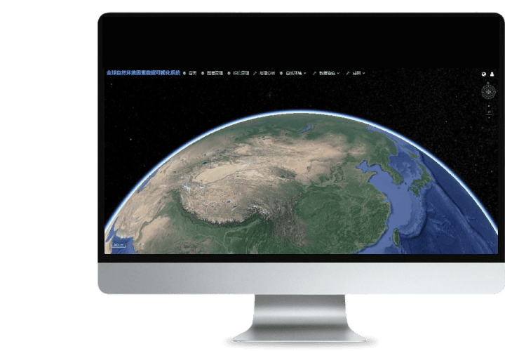 Turing Digital Earth
 Turing Data Platform
 High-resolution maps
 Aerial imagery data
 Satellite remote sensing data
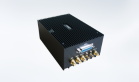
 Customized UAV development
 Aerial Surveying and Mapping Photography
 Electronic Map Production
 Smart City Development
 Natural Resource Applications
 Emergency Management Systems
 Power Grid Management and Maintenance
 Water Resources Industry
 Forestry and Grassland Sector
 Industry-Education Integration
 About Us
 News Information
 Recruitment
 Cooperation Consultation