


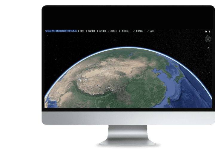
 Turing Digital Earth
 Turing Data Platform
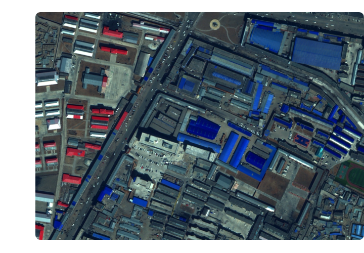
 High-resolution maps
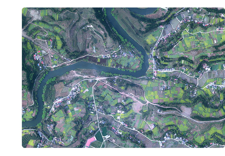 Aerial imagery data
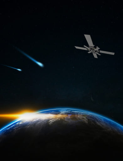
 Satellite remote sensing data
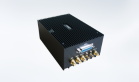
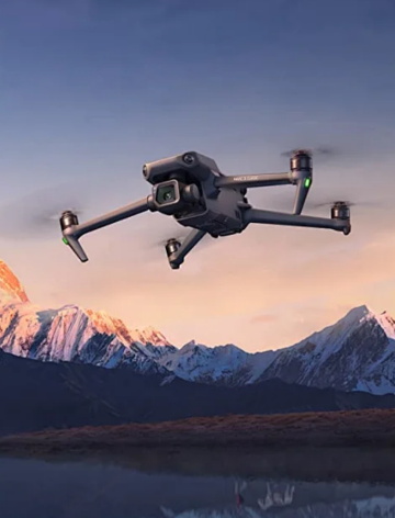 Customized UAV development
 Aerial Surveying and Mapping Photography
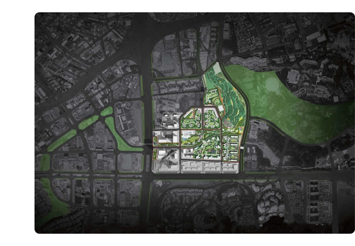
 Electronic Map Production
 Smart City Development
 Natural Resource Applications
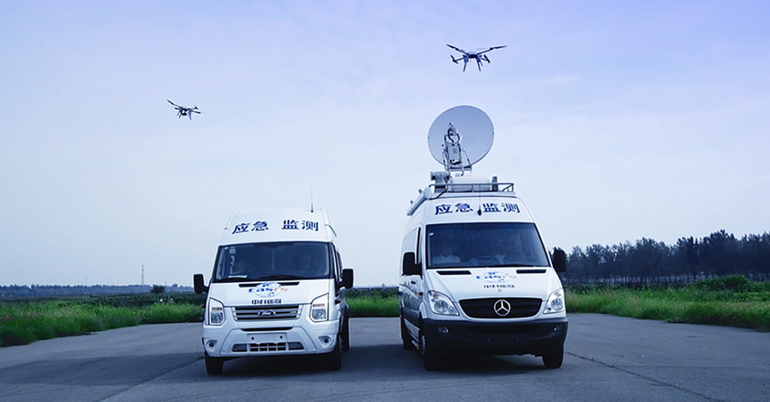
 Emergency Management Systems
 Power Grid Management and Maintenance
 Water Resources Industry
 Forestry and Grassland Sector
 Industry-Education Integration
 About Us
 News Information
 Recruitment
 Cooperation Consultation


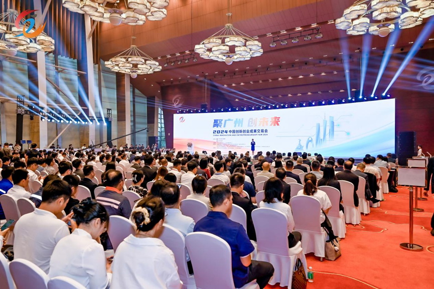
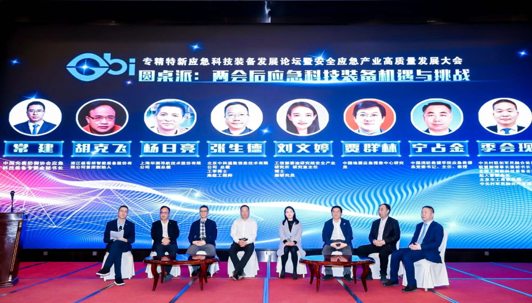
On September 25-26, the 2024 China Innovation and Entrepreneurship Fair (hereinafter referred to as the "Fair") with the theme of "Gathering in Guangzhou, Creating the Future" was held at the Baiyun International Convention Center in Guangzhou. This year marks the 10th anniversary of the Innovation and Entrepreneurship Fair, and it is also the first time that the fair has been held in a market-oriented form. On the 25th alone, the amount of signed contracts for the transformation of scientific and technological achievements exceeded 20 billion yuan, setting a new record for the highest daily signing amount in history.

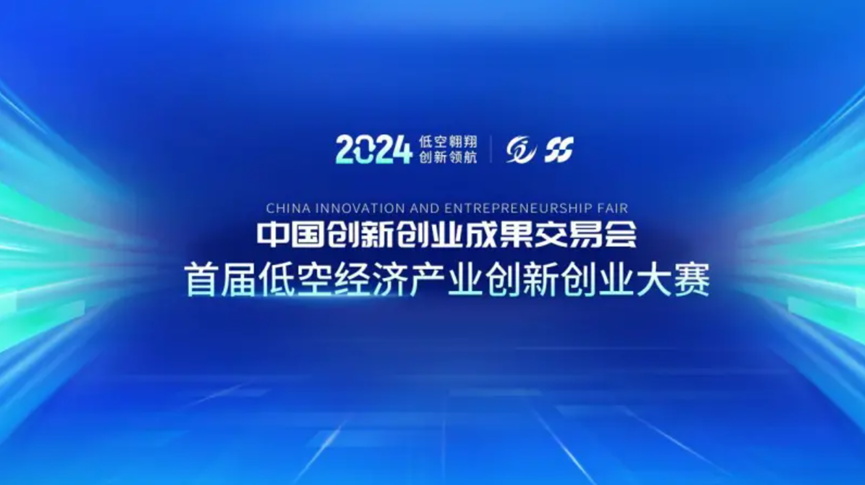
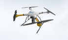
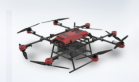
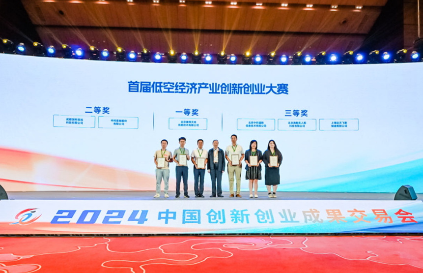
At the same time, the first Low altitude Economic Innovation and Entrepreneurship Competition of the 2024 China Innovation and Entrepreneurship Fair, with the theme of "Low altitude Soaring, Innovation Leading", kicked off on September 24th at the Guangzhou International Business Incubator. This is the first time that the China Innovation and Entrepreneurship Fair has opened a specialized event in the field of low altitude economy. ZKYS brought the intelligent remote sensing platform of the Zhongyao series UAV developed by itself to the competition and won the third prize. Liu Daxiang, an academician of the CAE Member, awarded the medal to the award-winning unit.
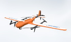
The founding team of ZKYS has been deeply involved in the field of remote sensing spatial information technology for more than 20 years. Through continuous research and accumulation, they have independently designed, developed, and produced more than ten industry-leading unmanned aerial vehicle flight control and navigation systems, becoming a high-tech innovation company with rich patents and complete qualification certificates. They strive to provide customers in various fields with comprehensive application solutions and feasible technical support services, and contribute their wisdom and strength to social harmony, environmental safety, and economic development.