


 Turing Digital Earth
 Turing Data Platform
 High-resolution maps
 Aerial imagery data
 Satellite remote sensing data
 Customized UAV development
 Aerial Surveying and Mapping Photography
 Electronic Map Production
 Smart City Development
 Natural Resource Applications
 Emergency Management Systems
 Power Grid Management and Maintenance
 Water Resources Industry
 Forestry and Grassland Sector
 Industry-Education Integration
 About Us
 News Information
 Recruitment
 Cooperation Consultation


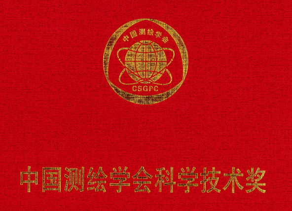
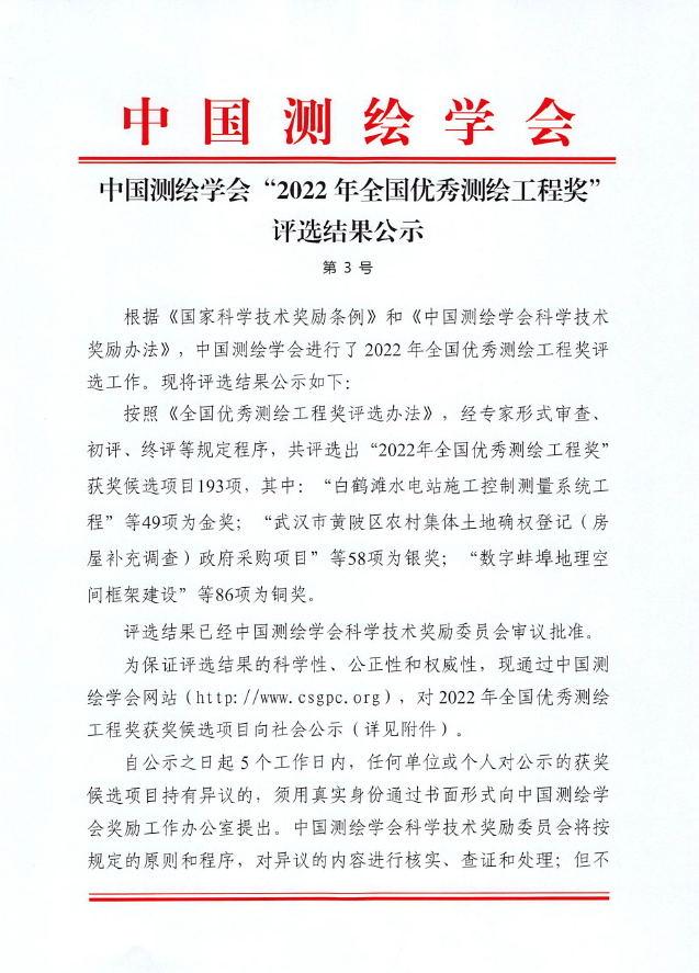
Good News!
ZKYS won the National Excellent Surveying and Mapping Engineering Award Gold Award
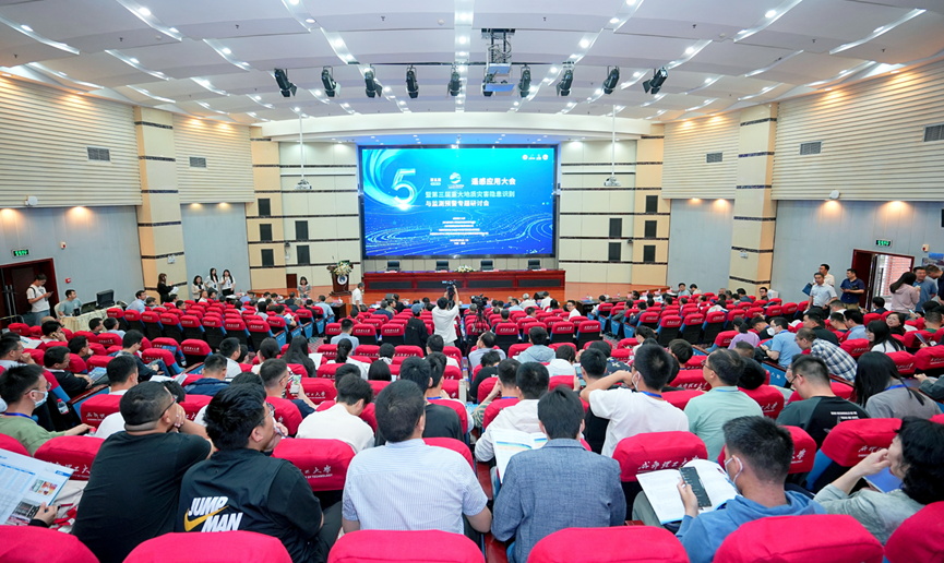
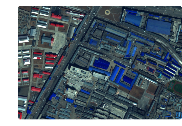
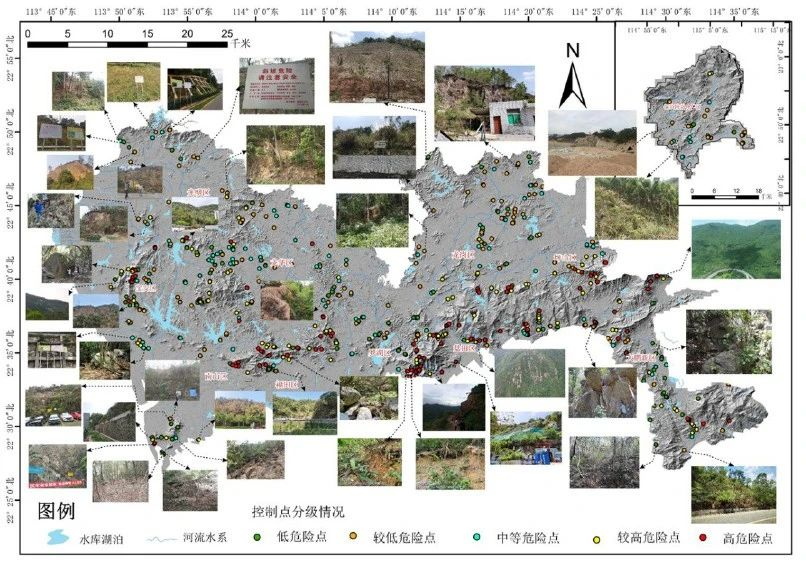
On August 23rd, the "Shenzhen Geological Hazard Airborne Lidar Remote Sensing Disaster Reduction Demonstration Application" project, jointly completed by our company, Shenzhen Urban Public Safety Technology Research Institute Co., Ltd., and Chengdu University of Technology, won the gold medal of the "2022 National Excellent Surveying and Mapping Engineering Award" of the Chinese Society of Surveying and Mapping.
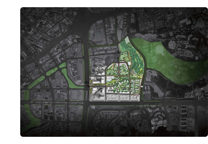
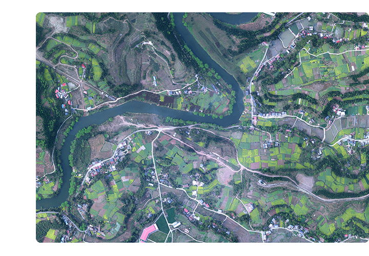
This project is the first remote sensing exploration of disaster reduction in urban and surrounding areas with large undulating terrain based on airborne LiDAR technology in mainland China, and has demonstrative application significance. The project uses two-way laser scanning to obtain high-density point clouds. After manual editing, it effectively overcomes the adverse effects of dense vegetation coverage and building occlusion, and produces high-precision topography. It not only provides high-precision DEM for the production of Shenzhen urban area, provides early warning for heavy rainstorm emergencies, but also lays a foundation for accurate identification of geological hazard points of landslide and debris flow.
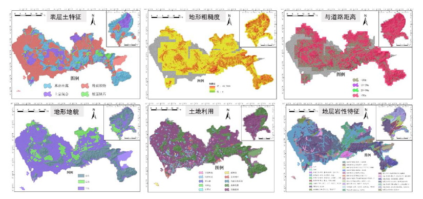
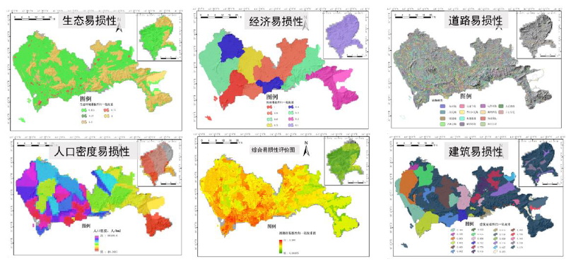
The project achievements have played a key role in data support for urban disaster reduction and early warning in areas such as mudslides, landslides, and forest fires in Shenzhen, effectively preventing and reducing the occurrence of major and catastrophic disasters.
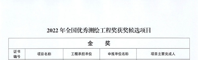
The National Excellent Surveying and Mapping Engineering Award is an award established with the approval of the national science and technology award department and the national surveying and mapping geographic information department. It mainly selects surveying and mapping engineering projects with advanced engineering technology, scientific engineering management, superior engineering quality, and significant engineering benefits nationwide. After expert formal review, preliminary evaluation, final evaluation and other prescribed procedures, a total of 193 candidate projects for the "2022 National Excellent Surveying and Mapping Engineering Award" were selected, including 49 gold awards, 58 silver awards, and 86 bronze awards.