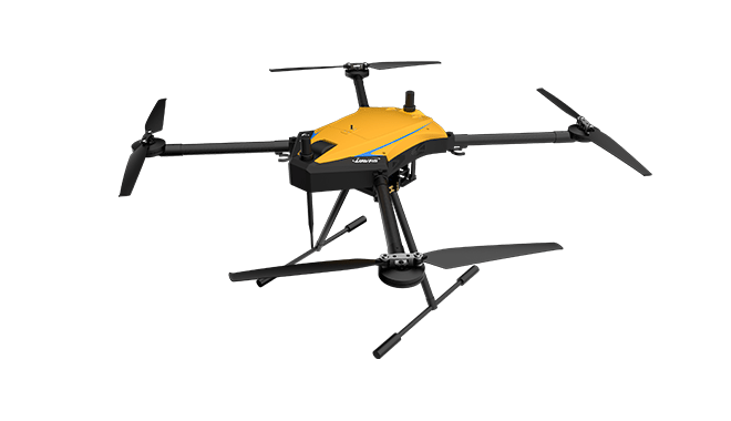
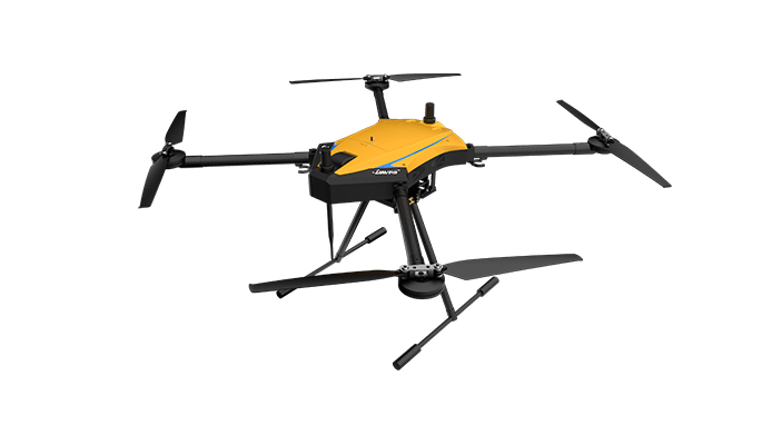
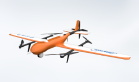
Long endurance
The hover time at sea level can reach 60min when carrying 2kg equipment
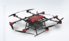
Portability
The arm can be folded, folding size 533*491*568mm
Easy to operate
Foldable blades are used, so there is no need to install or disassemble the blades when using and storing
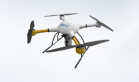
Compatible with multiple mission payloads
Including single-lens cameras, multi-split cameras, lidar, hyperspectral imagers, photoelectric pods, etc.
High reliability
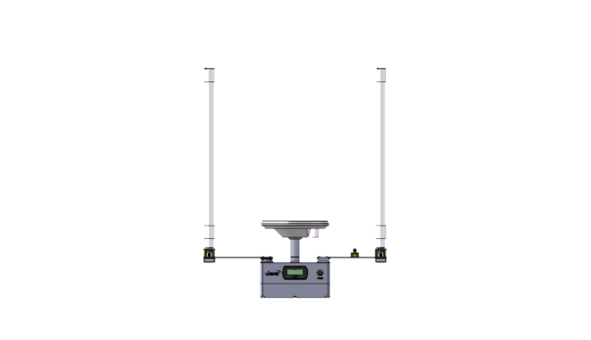
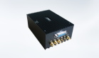
Equipped with DP-100/200 professional flight control
Long transmission distance
Integrated with a radio with a transmission distance of up to 100km and RTK differential positioning system
Airline connector
With 5V/12V/24V power supply interface
No manual calibration is required
The magnetometer does not need manual calibration under any circumstances, and has the function of self-learning correction of heading
360° no view obstruction
Equipped with electric landing gear, which can be retracted to 360° without view obstruction


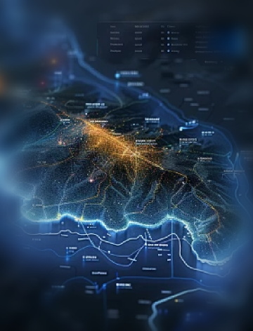
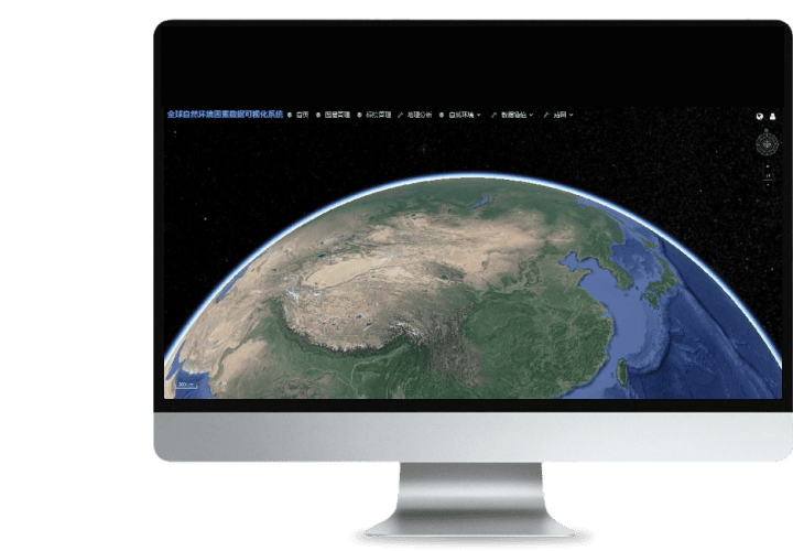 Turing Digital Earth
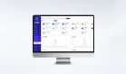
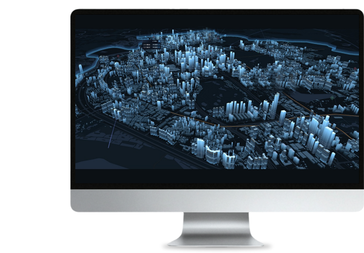 Turing Data Platform
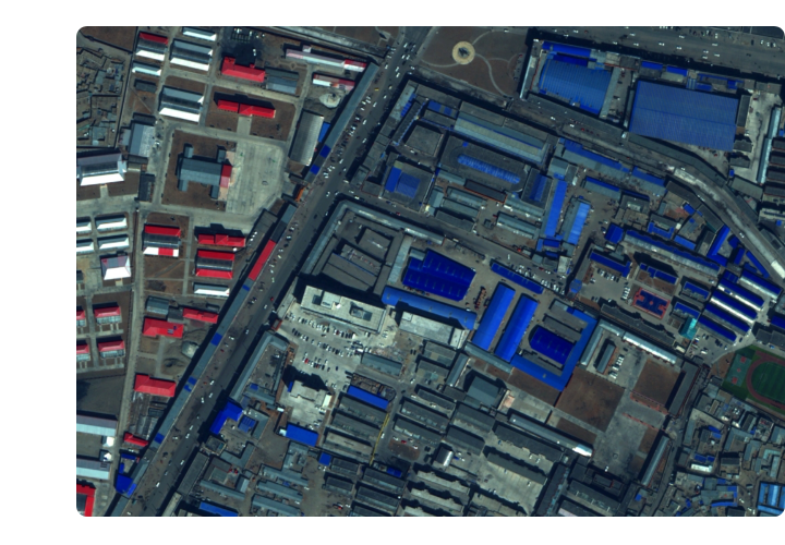
 High-resolution maps
 Aerial imagery data
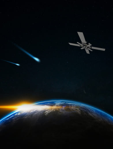
 Satellite remote sensing data
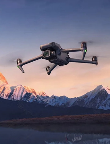 Customized UAV development
 Aerial Surveying and Mapping Photography
 Electronic Map Production
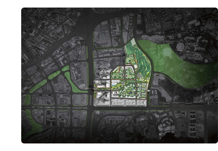
 Smart City Development
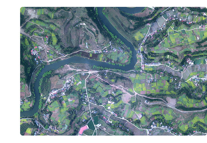
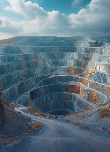 Natural Resource Applications
 Emergency Management Systems
 Power Grid Management and Maintenance
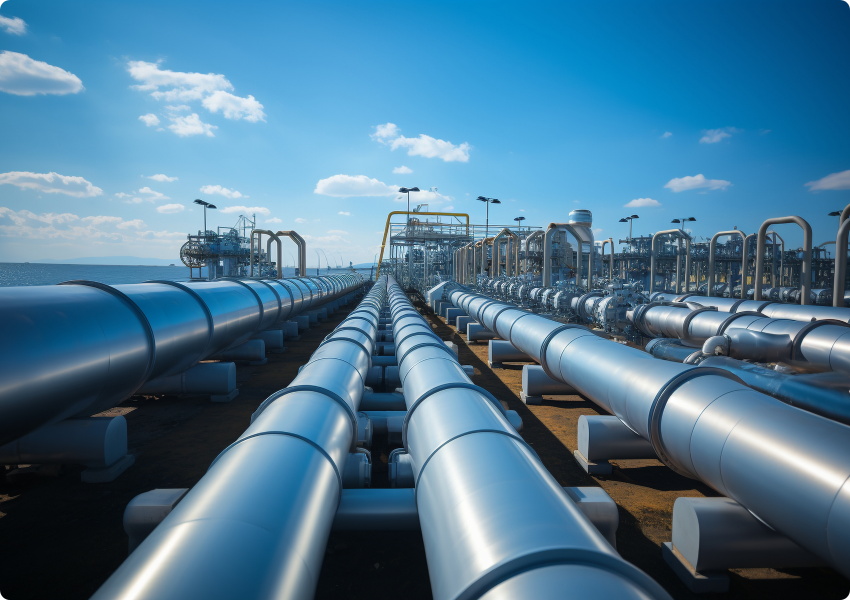
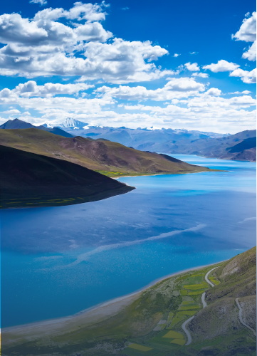 Water Resources Industry
 Forestry and Grassland Sector
 Industry-Education Integration
 About Us
 News Information
 Recruitment
 Cooperation Consultation