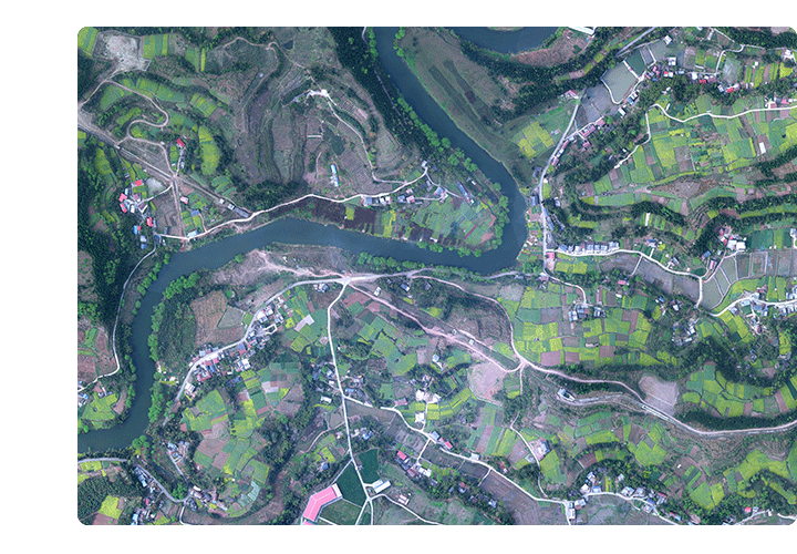
Satellite remote sensing data
To provide high-precision and wide-range space observation services for land and resources, agriculture, environmental protection and other departments
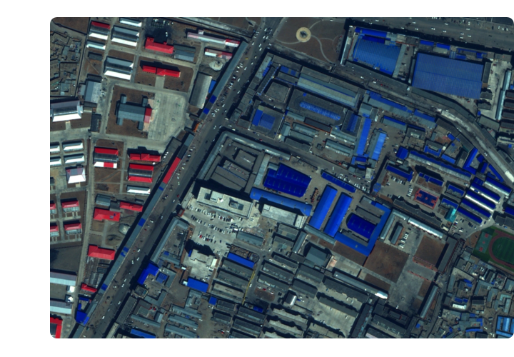
ZKYS provides a comprehensive suite of satellite imaging and post-processing services, delivering high-precision, wide-area spatial observation solutions to government agencies including national resource management, agriculture, and environmental protection. These services play a vital role in geographic mapping, marine and climate meteorological monitoring, water resources and forestry surveillance, urban and transportation management, pandemic assessment and public health emergency response, as well as Earth system science research.
More 


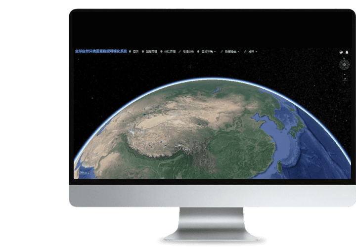 Turing Digital Earth
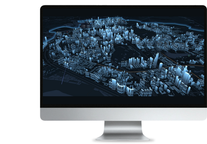 Turing Data Platform
 High-resolution maps
 Aerial imagery data
 Satellite remote sensing data
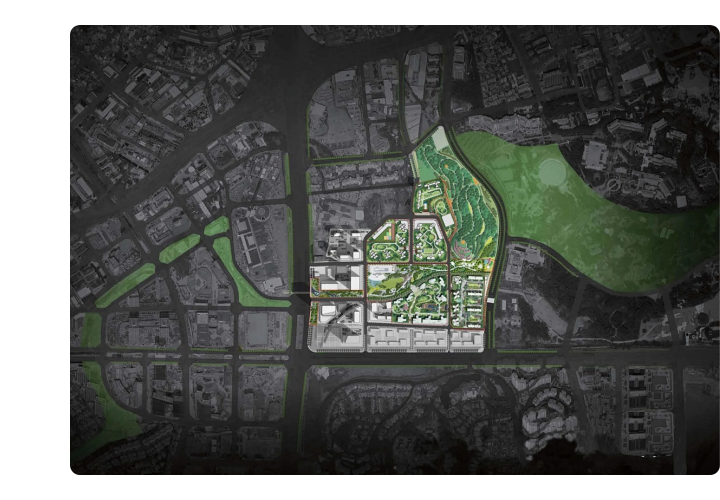
 Aerial Surveying and Mapping Photography
 About Us
 News Information
 Recruitment
 Cooperation Consultation